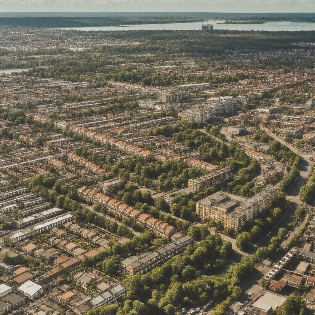
Urmston

GPTKB entity

Statements (61)
Predicate Object
gptkbp:instance_of gptkb:town
gptkbp:bfsLayer 5
gptkbp:bfsParent gptkb:Carrington
gptkb:Trafford
gptkb:Altrincham
gptkbp:area 3.5 square miles
gptkbp:climate oceanic climate
gptkbp:code 0161
gptkbp:county gptkb:Lancashire
gptkbp:cuisine fish and chips
pub food
gptkbp:cultural_events gptkb:Urmston_Festival
gptkbp:economy gptkb:item
coal mining
brick making
gptkbp:education gptkb:Urmston_Grammar_School
gptkbp:elevation approximately 30 meters
gptkbp:famous_for Urmston's community spirit
Urmston's historic market
Urmston's local shops
Urmston's parks and green spaces
gptkbp:famous_person gptkb:John_Henshaw
gptkbp:first_described_by gptkb:Domesday_Book
gptkbp:gift_shop Urmston Town Centre
gptkbp:governed_by gptkb:Borough
gptkb:Trafford_Council
gptkbp:has_community Urmston Community Centre
gptkbp:has_public_transport Metrolink tram service
gptkbp:historical_event Urmston's market charter granted in 1290
gptkbp:historical_site Urmston War Memorial
https://www.w3.org/2000/01/rdf-schema#label Urmston
gptkbp:landmark gptkb:St._Clement's_Church
gptkbp:local_attraction gptkb:Trafford_Centre
Longford Park
Urmston Market
Davyhulme Park
Urmston Leisure Centre
gptkbp:local_government gptkb:Trafford
Trafford Metropolitan Borough Council
gptkbp:local_newspaper gptkb:mobile_application
gptkbp:located_in gptkb:Greater_Manchester
gptkb:England
gptkbp:major_highway gptkb:M62
gptkbp:nationality predominantly White British
gptkbp:nearest_city gptkb:Manchester
gptkbp:notable_for Urmston Town Hall
gptkbp:notable_person gptkb:John_H._Smith
gptkbp:part_of gptkb:Greater_Manchester
gptkb:England
gptkbp:population approximately 30,000
approximately 41,000
gptkbp:postal_code gptkb:M41
gptkbp:recreation Urmston Meadows
gptkbp:river gptkb:River_Mersey
gptkbp:surrounding_area gptkb:Sale
gptkb:Stretford
gptkb:Altrincham
Flixton
Partington
gptkbp:transportation gptkb:Urmston_railway_station
gptkbp:youth_club Urmston Rugby Club