Prompt
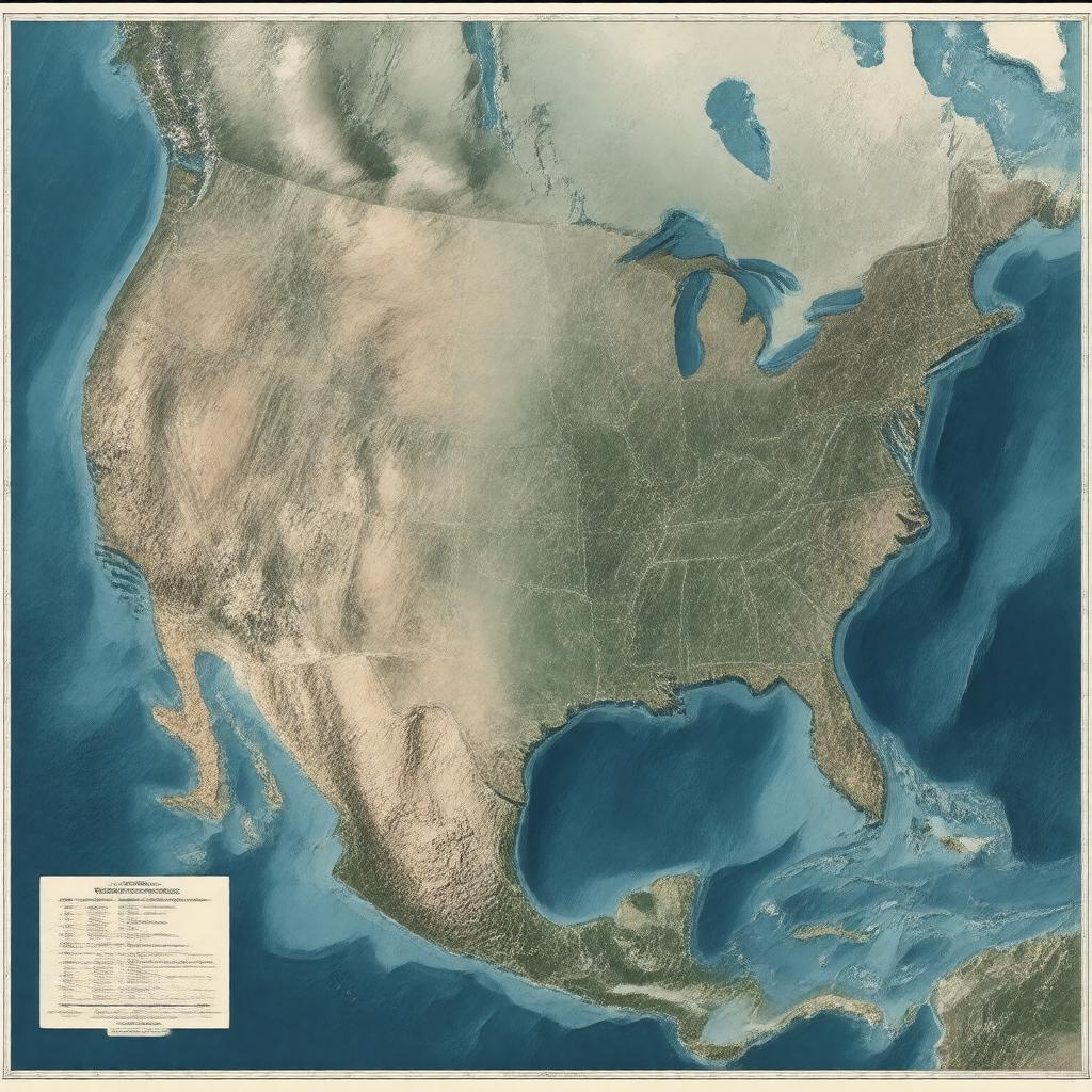
"Generate an image of a map representing the United States Exclusive Economic Zone (EEZ), which is the largest EEZ in the world, covering an area of 11,351,000 square kilometers. The map should include the EEZ boundaries extending 200 nautical miles from the coastline of the United States, including the coastlines of Alaska, Hawaii, Puerto Rico, Guam, American Samoa, Northern Mariana Islands, U.S. Virgin Islands, and other territories. The map should also show the EEZ overlapping with various bodies of water, including the Pacific Ocean, Atlantic Ocean, Gulf of Mexico, Caribbean Sea, and Arctic Ocean. The style of the map should be similar to an official nautical chart, with clear labels and markings indicating the EEZ boundaries, territorial waters, and neighboring EEZs of Canada, Mexico, Russia, and other countries. The color scheme should be a combination of blues and whites to represent the ocean and EEZ boundaries."

