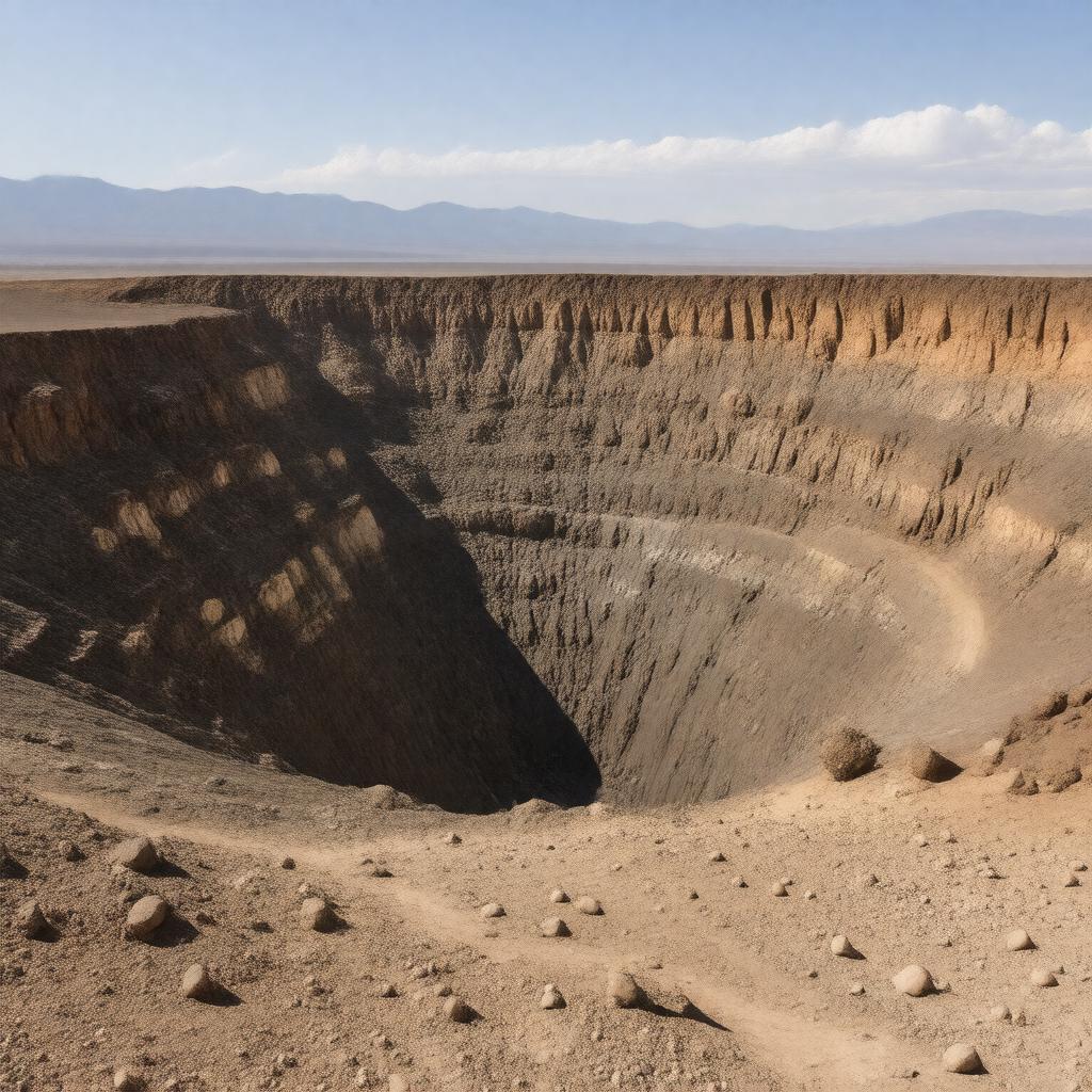
AI-created image
Statements (22)
| Predicate | Object |
|---|---|
| gptkbp:instanceOf |
gptkb:marble
|
| gptkbp:age |
about 2,100 years
|
| gptkbp:country |
gptkb:United_States
|
| gptkbp:diameter |
0.8 kilometers
|
| gptkbp:elevation |
786 meters
|
| gptkbp:formedBy |
phreatomagmatic eruption
|
| gptkbp:hasTrail |
gptkb:Ubehebe_Crater_Loop_Trail
|
| gptkbp:lastEruption |
about 2,100 years ago
|
| gptkbp:locatedIn |
gptkb:California
|
| gptkbp:location |
gptkb:Death_Valley_National_Park
|
| gptkbp:managedBy |
gptkb:National_Park_Service
|
| gptkbp:maximumDepth |
150 to 237 meters
|
| gptkbp:namedFor |
gptkb:Timbisha_Shoshone_people
|
| gptkbp:nameMeaning |
possibly 'big basket in the rock'
|
| gptkbp:nearby |
gptkb:Little_Hebe_Crater
gptkb:Racetrack_Playa |
| gptkbp:partOf |
gptkb:Ubehebe_Craters_complex
|
| gptkbp:touristAttraction |
yes
|
| gptkbp:volcanicField |
gptkb:Ubehebe_Craters
|
| gptkbp:bfsParent |
gptkb:Death_Valley_National_Park
|
| gptkbp:bfsLayer |
5
|
| http://www.w3.org/2000/01/rdf-schema#label |
Ubehebe Crater
|