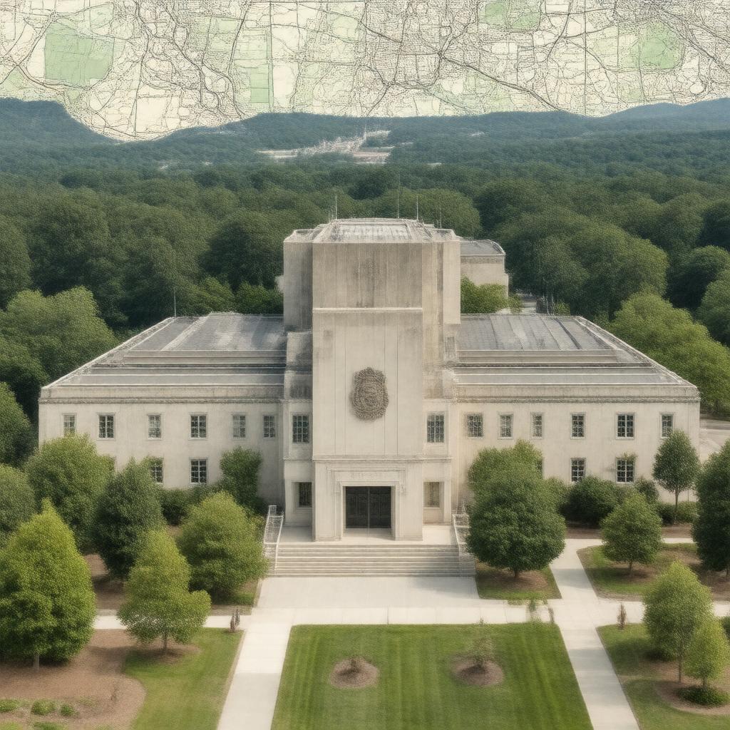
gptkbp:instance_of
|
gptkb:government_agency
gptkb:charity
|
gptkbp:bfsLayer
|
3
|
gptkbp:bfsParent
|
gptkb:USGS_Earth_Explorer
gptkb:observatory
|
gptkbp:collaborates_with
|
gptkb:U._S._Forest_Service
gptkb:National_Park
gptkb:U._S._Geological_Survey
gptkb:satellite
|
gptkbp:conducts
|
climate change research
water quality assessments
earthquake research
land use studies
|
gptkbp:employees
|
approximately 8,000
|
gptkbp:focus
|
geological research
natural resource assessment
natural hazard monitoring
|
gptkbp:founded
|
1879
March 3, 1879
|
gptkbp:headquarters
|
gptkb:Reston,_Virginia
|
https://www.w3.org/2000/01/rdf-schema#label
|
USGS
|
gptkbp:is_divided_into
|
gptkb:physicist
Geology
Natural Hazards
Water Resources
Geospatial Information
Energy and Minerals
|
gptkbp:is_involved_in
|
gptkb:public_safety
gptkb:Research_Institute
environmental monitoring
resource management
|
gptkbp:is_known_for
|
water resource management
land use planning
geological mapping
earthquake monitoring
|
gptkbp:is_part_of
|
gptkb:U._S._federal_government
|
gptkbp:mission
|
provide reliable scientific information
|
gptkbp:notable_work
|
gptkb:National_Water_Quality_Assessment
gptkb:Landsat_satellite_program
Geological mapping
Earthquake Hazards Program
|
gptkbp:operates
|
gptkb:National_Earthquake_Information_Center
gptkb:Biological_Resources_Division
Water Resources Division
Geology, Minerals, Energy, and Geophysics Science Center
|
gptkbp:parent_company
|
gptkb:United_States_Department_of_the_Interior
gptkb:U._S._Department_of_the_Interior
|
gptkbp:provides
|
geospatial data
topographic maps
biological data
hydrologic data
|
gptkbp:publishes
|
gptkb:Photographer
data sets
scientific reports
|
gptkbp:receives_funding_from
|
gptkb:government_agency
|
gptkbp:serves
|
gptkb:football_club
gptkb:Research_Institute
policy makers
|
gptkbp:technology
|
gptkb:GIS
satellite imagery
remote sensing
data modeling
|
gptkbp:website
|
https://www.usgs.gov
usgs.gov
|
gptkbp:works_with
|
local governments
international organizations
state agencies
|