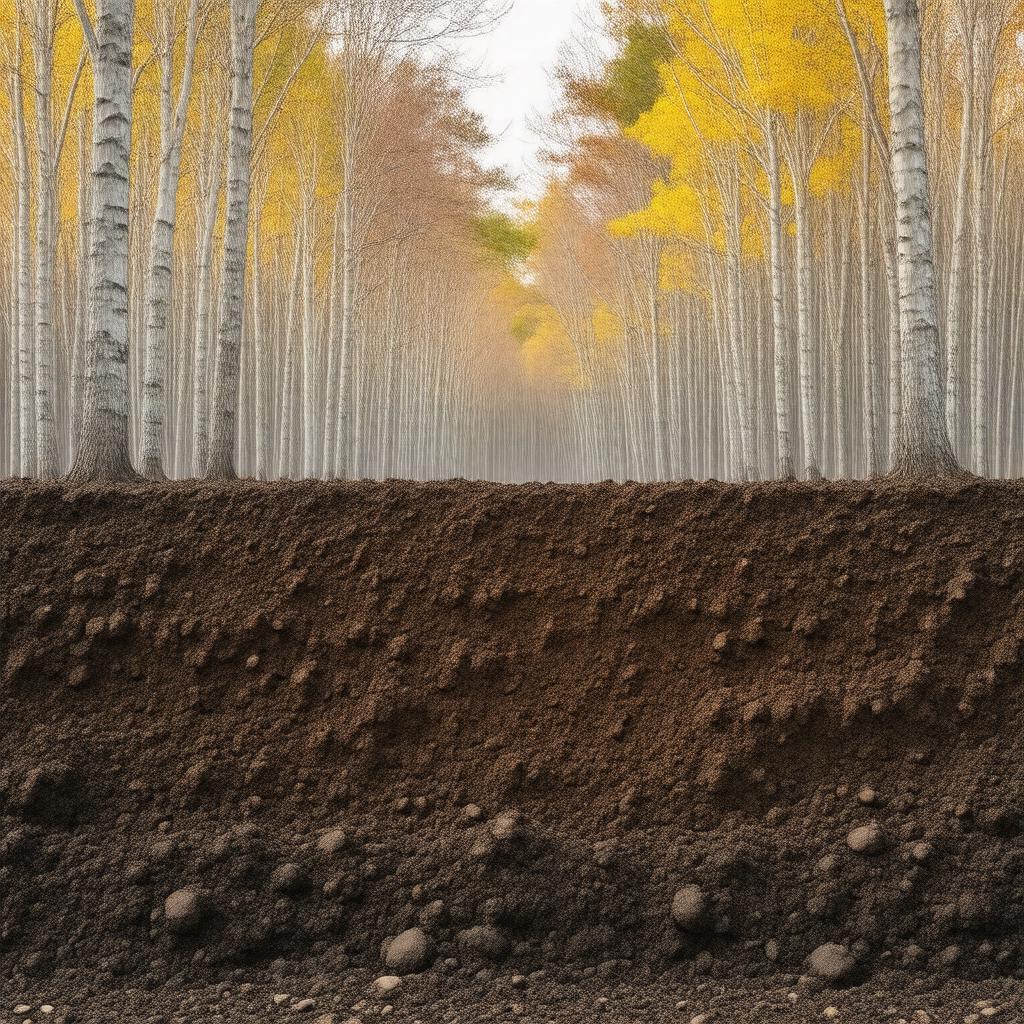
AI-created image
Statements (29)
| Predicate | Object |
|---|---|
| gptkbp:instanceOf |
gptkb:Soil
|
| gptkbp:common_land_use |
gptkb:grass
forestry cropland |
| gptkbp:depth_to_bedrock |
20 to 40 inches
|
| gptkbp:designated_as_state_soil_in |
1985
|
| gptkbp:drainage_class |
well drained
|
| gptkbp:formed |
gptkb:Wisconsin_glaciation
|
| gptkbp:foundIn |
gptkb:Maine
gptkb:Massachusetts gptkb:New_Hampshire gptkb:New_York gptkb:Vermont |
| gptkbp:is_the_state_soil_of |
gptkb:Vermont
|
| gptkbp:namedAfter |
gptkb:Tunbridge,_Vermont
|
| gptkbp:parent_material |
glacial till
|
| gptkbp:soil_order |
gptkb:Inceptisol
|
| gptkbp:subsurface_horizon_color |
brown
|
| gptkbp:supports |
gptkb:sugar_maple
gptkb:yellow_birch beech northern hardwood forests |
| gptkbp:surface_horizon_color |
dark brown
|
| gptkbp:texture |
loamy
|
| gptkbp:typical_slope_range |
3 to 60 percent
|
| gptkbp:USDA_soil_taxonomy |
gptkb:coarse-loamy,_mixed,_active,_mesic_Typic_Haplorthods
|
| gptkbp:bfsParent |
gptkb:Vermont
|
| gptkbp:bfsLayer |
4
|
| http://www.w3.org/2000/01/rdf-schema#label |
Tunbridge soil
|