Prompt
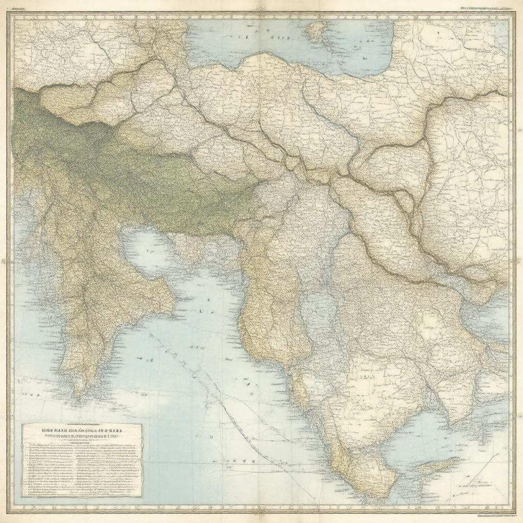
"Create an image of a historic document, specifically a map illustrating the territorial changes and divisions of the Ottoman Empire as outlined in the Treaty of Sèvres, signed on August 10, 1920, in Sèvres, France. The map should display the newly created borders, including an independent Armenia, autonomous Kurdistan, and the partition of Ottoman territories among Allied powers, such as French and British mandates, and territories ceded to Greece, including Smyrna and Eastern Thrace. The style should be reminiscent of early 20th-century cartography, with clear labels and detailed geographical features."

