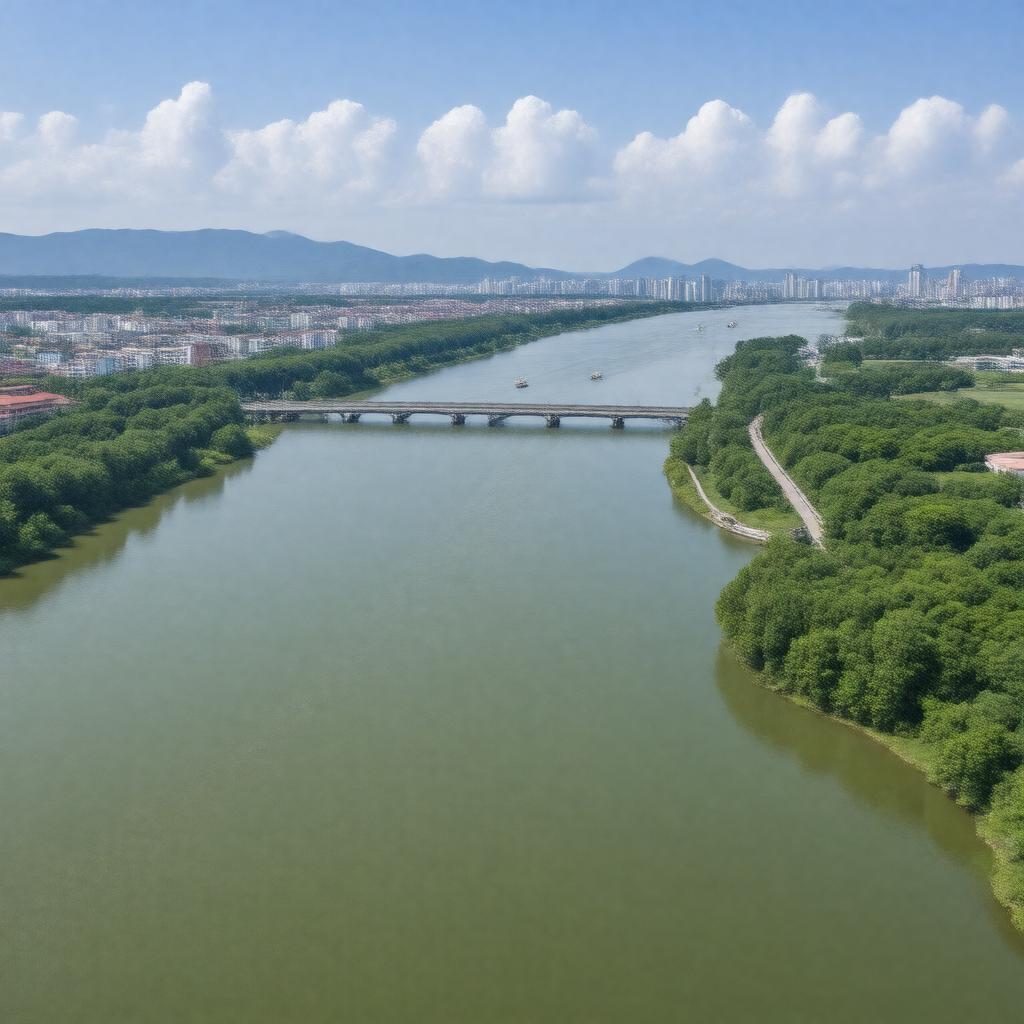
gptkbp:instance_of
|
gptkb:river
|
gptkbp:biodiversity
|
supports various fish species
|
gptkbp:borders
|
gptkb:Pyongyang
gptkb:South_Pyongan_Province
|
gptkbp:climate_adaptation
|
strategies in place for communities.
|
gptkbp:climate_impact
|
affected by climate change
affects local climate
|
gptkbp:contributes_to
|
gptkb:local_economy
|
gptkbp:crosses
|
gptkb:Pyongyang
|
gptkbp:cultural_events
|
festivals held nearby
|
gptkbp:cultural_heritage
|
part of local heritage
|
gptkbp:cultural_references
|
mentioned in literature
|
gptkbp:cultural_symbol
|
symbol of North Korean identity
|
gptkbp:drainage_basin
|
Taedong River Basin
|
gptkbp:economy
|
important for trade routes
|
gptkbp:environmental_concerns
|
pollution
efforts in place
|
gptkbp:famous_landmark
|
gptkb:Taedong_Bridge
featured in ancient maps
|
gptkbp:fishing_regulations
|
supports local fisheries
|
gptkbp:flood_control
|
seasonal floods
|
gptkbp:flora
|
wetland vegetation
|
gptkbp:flows_into
|
gptkb:Pyongyang
gptkb:Korean_Bay
|
gptkbp:geological_features
|
surrounded by hills
|
gptkbp:historical_event
|
site of battles
|
gptkbp:historical_significance
|
gptkb:cultural_heritage
cultural and economic development of North Korea
|
https://www.w3.org/2000/01/rdf-schema#label
|
Taedong River
|
gptkbp:importance
|
gptkb:transportation
irrigation
|
gptkbp:is_essential_for
|
irrigation
|
gptkbp:land_use
|
urban development along banks
|
gptkbp:landmark
|
gptkb:Mansudae_Art_Studio
|
gptkbp:length
|
439 km
|
gptkbp:local_economy
|
supports agriculture and fishing
|
gptkbp:local_legends
|
associated with folklore
|
gptkbp:located_in
|
gptkb:North_Korea
|
gptkbp:major_city
|
gptkb:Pyongyang
|
gptkbp:mouth
|
gptkb:Korean_Bay
|
gptkbp:navigable
|
yes
|
gptkbp:power_source
|
limited
|
gptkbp:recreation
|
boating
|
gptkbp:research
|
studied for ecology
|
gptkbp:route
|
used for trade routes
|
gptkbp:seasonal_activities
|
water levels fluctuate
|
gptkbp:source
|
gptkb:Mount_Paektu
|
gptkbp:sport
|
kayaking and canoeing
supports diverse ecosystems
|
gptkbp:surrounding_area
|
gptkb:agricultural_land
|
gptkbp:surrounding_cities
|
various villages
|
gptkbp:tourist_attraction
|
scenic views
|
gptkbp:tributary_of
|
gptkb:Korean_Bay
gptkb:Chongchon_River
Kumya River
|
gptkbp:used_for
|
gptkb:transportation
|
gptkbp:water_management
|
important for flood control
implemented for sustainability
|
gptkbp:water_quality
|
varies by season
|
gptkbp:water_source
|
drinking water for local population
|
gptkbp:wildlife
|
gptkb:waterfowl
|
gptkbp:bfsParent
|
gptkb:North_Korea
|
gptkbp:bfsLayer
|
4
|