GPTKB
Browse
Query
Compare
Download
Publications
Contributors
Search
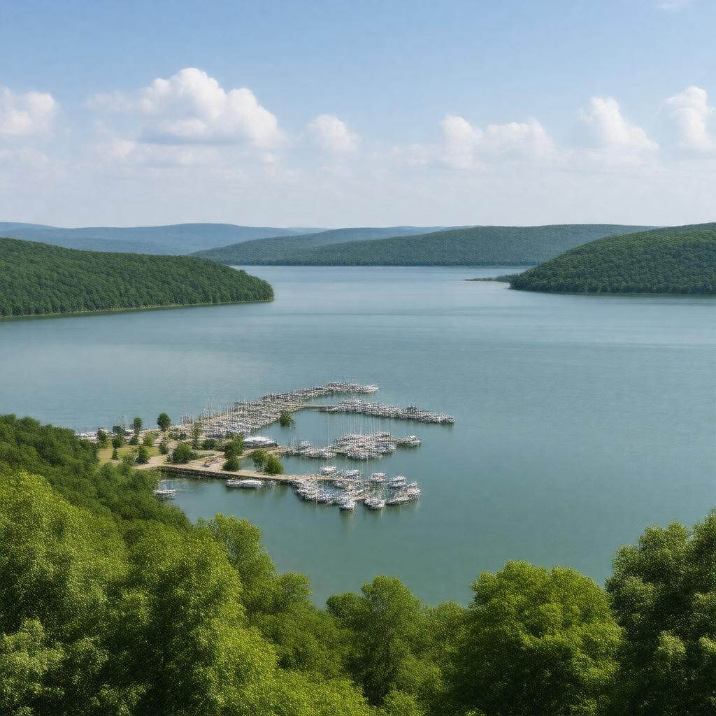
Table Rock Lake
URI:
https://gptkb.org/entity/Table_Rock_Lake
GPTKB entity
Statements (56)
Predicate
Object
gptkbp:instanceOf
gptkb:reservoir
gptkbp:basinCountry
gptkb:United_States
gptkbp:completedIn
1958
gptkbp:country
gptkb:United_States
gptkbp:createdBy
gptkb:Table_Rock_Dam
gptkbp:elevation
915 feet
gptkbp:hasCoastline
745 miles
gptkbp:hasFishSpecies
gptkb:fish
gptkb:striped_bass
crappie
smallmouth bass
walleye
bluegill
gptkbp:hasIsland
gptkb:Coney_Island
gptkbp:hasMarina
gptkb:Baxter_Marina
gptkb:Big_M_Marina
gptkb:Bridgeport_Marina
gptkb:Campbell_Point_Marina
gptkb:Cape_Fair_Marina
gptkb:Cricket_Creek_Marina
gptkb:Eagle_Rock_Marina
gptkb:Hideaway_Marina
gptkb:Holiday_Island_Marina
gptkb:Indian_Point_Marina
gptkb:Kings_River_Marina
gptkb:Long_Creek_Marina
gptkb:Mill_Creek_Marina
gptkb:Point_7_Marina
gptkb:Port_of_Kimberling_Marina
gptkb:Rock_Lane_Marina
gptkb:Shell_Knob_Marina
gptkb:State_Park_Marina
gptkb:Viola_Marina
https://www.w3.org/2000/01/rdf-schema#label
Table Rock Lake
gptkbp:inflow
gptkb:White_River
gptkbp:locatedIn
gptkb:Arkansas
gptkb:Missouri
gptkbp:maximumDepth
220 feet
gptkbp:nearestCity
gptkb:Branson
gptkb:Kimberling_City
gptkb:Shell_Knob
gptkbp:operator
gptkb:U.S._Army_Corps_of_Engineers
gptkbp:outflow
gptkb:White_River
gptkbp:protectedBy
gptkb:Table_Rock_State_Park
gptkbp:purpose
flood control
hydroelectric power
recreation
gptkbp:recreationalActivity
boating
camping
fishing
swimming
scuba diving
gptkbp:river
gptkb:White_River
gptkbp:surface
43,100 acres
gptkbp:bfsParent
gptkb:Missouri
gptkbp:bfsLayer
4