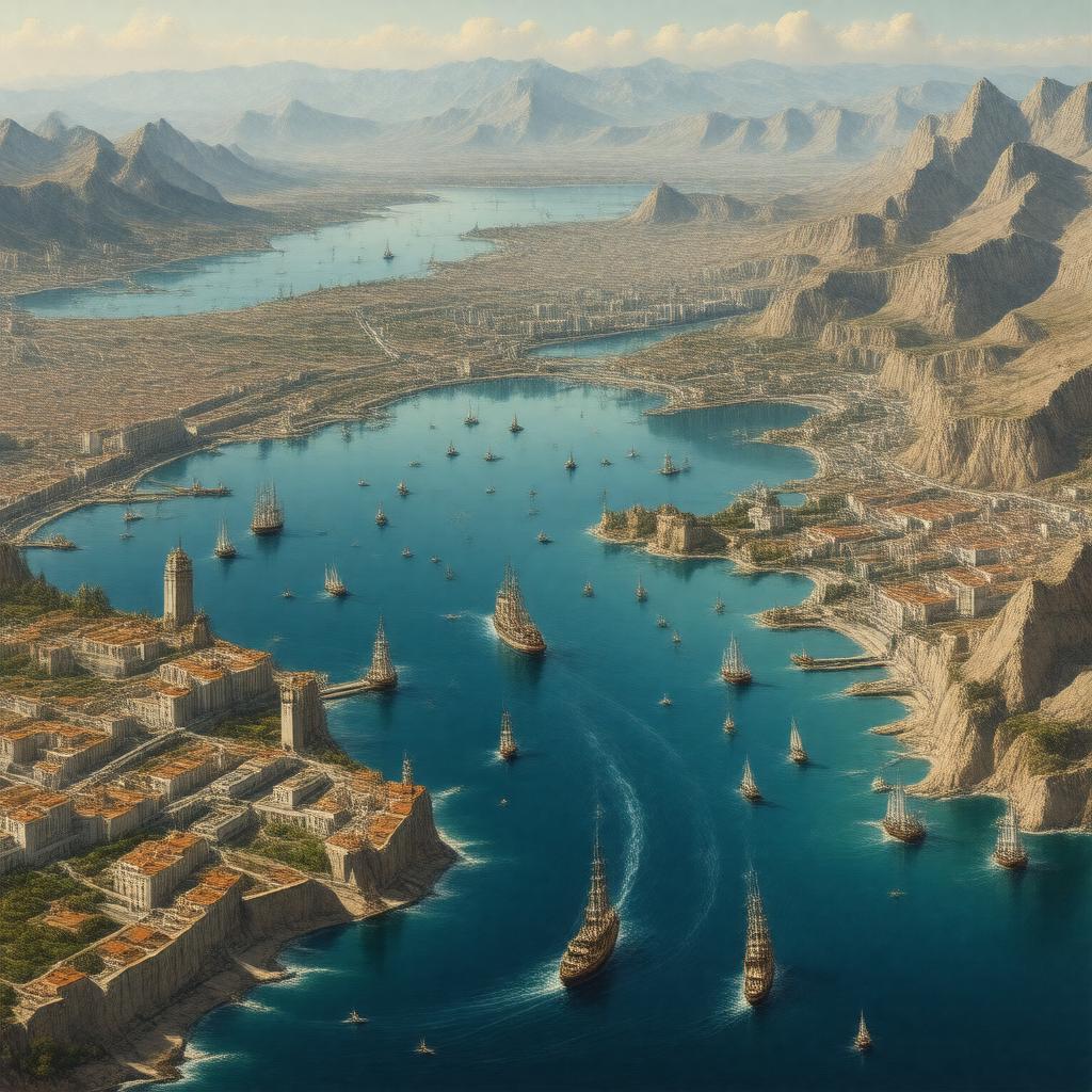
gptkbp:instanceOf
|
gptkb:street
|
gptkbp:borders
|
gptkb:Morocco
gptkb:Spain
gptkb:Portugal_(via_EEZ)
gptkb:United_Kingdom_(Gibraltar)
|
gptkbp:connects
|
gptkb:Atlantic_Ocean
gptkb:Mediterranean_Sea
|
gptkbp:crosses
|
ferries
cargo ships
tankers
submarines
|
gptkbp:fauna
|
dolphins
migratory birds
whales
|
gptkbp:featureType
|
Messinian Salinity Crisis (historical event)
tectonic boundary
|
gptkbp:hasCurrent
|
Atlantic inflow
Mediterranean outflow
|
gptkbp:historicalName
|
gptkb:Pillars_of_Hercules
|
https://www.w3.org/2000/01/rdf-schema#label
|
Strait of Gibraltar
|
gptkbp:importantFor
|
international shipping
|
gptkbp:latitude
|
36°N
|
gptkbp:locatedIn
|
between southern Spain and northern Morocco
|
gptkbp:longitude
|
5°W
|
gptkbp:maximumDepth
|
900 meters
|
gptkbp:namedAfter
|
gptkb:Gibraltar
|
gptkbp:nearestCity
|
gptkb:Ceuta
gptkb:Gibraltar
gptkb:Tangier
gptkb:Algeciras
|
gptkbp:oceanographicFeature
|
water exchange between Atlantic and Mediterranean
|
gptkbp:partOf
|
gptkb:Alboran_Sea
|
gptkbp:proposedTunnel
|
gptkb:Gibraltar_Tunnel
|
gptkbp:separates
|
gptkb:Africa
gptkb:Europe
|
gptkbp:strategicImportance
|
gptkb:military
trade
|
gptkbp:UNESCO_tentative_list
|
yes
|
gptkbp:usedBy
|
gptkb:Spanish_Empire
gptkb:British_Navy
gptkb:ancient_Greeks
gptkb:ancient_Phoenicians
gptkb:ancient_Romans
gptkb:pirate
gptkb:Moors
|
gptkbp:width
|
13 kilometers
|
gptkbp:bfsParent
|
gptkb:North_Atlantic
|
gptkbp:bfsLayer
|
4
|