Prompt
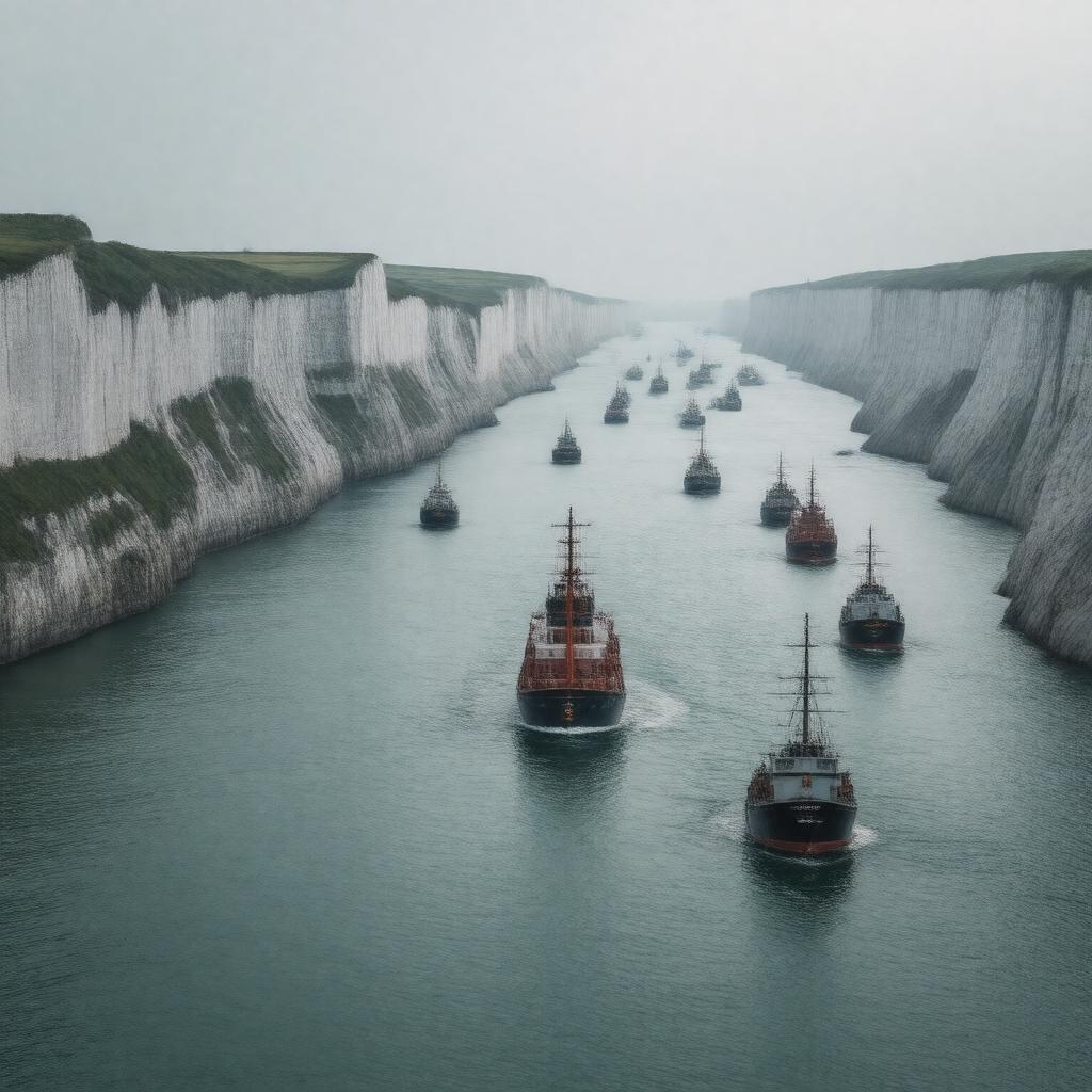
"Generate a realistic image of the Strait of Dover, a narrow waterway that connects the North Sea to the English Channel, separating England from France. The image should showcase the strait's busy shipping lane, with several ships and ferries traversing the 33.3 km wide passage. In the background, the white cliffs of Dover's northern shore and the Pas-de-Calais region of France's southern shore should be visible. The Channel Tunnel, also known as the Eurotunnel, should be depicted as a subtle feature under the water. The image should convey a sense of movement and activity, highlighting the strait's importance as a major transportation route and historical site, such as during Operation Dynamo. Use a photorealistic style with a focus on capturing the dynamic interplay of sea, sky, and human activity."

