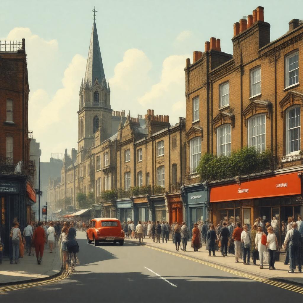
AI-created image
Statements (23)
| Predicate | Object |
|---|---|
| gptkbp:instanceOf |
gptkb:district
|
| gptkbp:dialCode |
020
|
| gptkbp:etymology |
from Old English 'Stybbanhythe' meaning 'landing place for a tree trunk'
|
| gptkbp:hasPopulation |
over 16,000 (2011 Census)
|
| gptkbp:hasPostalCode |
E1
|
| gptkbp:historicalEvent |
Bangladeshi immigration in late 20th century
Blitz bombings during WWII Jewish immigration in 19th and 20th centuries |
| gptkbp:historicallyPartOf |
gptkb:Middlesex
|
| gptkbp:locatedIn |
gptkb:England
gptkb:London gptkb:United_Kingdom |
| gptkbp:notableFor |
gptkb:St_Dunstan's_Church
gptkb:Stepney_City_Farm gptkb:Stepney_Green_Park East End history immigrant communities |
| gptkbp:partOf |
gptkb:London_Borough_of_Tower_Hamlets
|
| gptkbp:representedIn |
gptkb:Parliament_of_the_United_Kingdom
|
| gptkbp:servedBy |
gptkb:Stepney_Green_tube_station
|
| gptkbp:bfsParent |
gptkb:Tower_Hamlets
|
| gptkbp:bfsLayer |
4
|
| http://www.w3.org/2000/01/rdf-schema#label |
Stepney
|