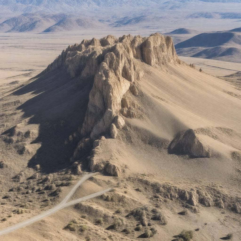
AI-created image
Statements (24)
| Predicate | Object |
|---|---|
| gptkbp:instanceOf |
gptkb:mountain
|
| gptkbp:elevation |
2975 meters
|
| gptkbp:featureType |
fault-block mountain
|
| gptkbp:firstAscent |
gptkb:unknown
|
| gptkbp:highestPoint |
gptkb:Steens_Summit
|
| gptkbp:latitude |
42.6472
|
| gptkbp:locatedIn |
gptkb:Oregon
gptkb:United_States gptkb:Harney_County |
| gptkbp:longitude |
-118.5967
|
| gptkbp:mapType |
gptkb:USGS_Steens_Mountain
|
| gptkbp:namedAfter |
gptkb:E._C._Steens
|
| gptkbp:notableFor |
gptkb:road
glacial valleys diverse wildlife wild horses |
| gptkbp:partOf |
Bureau of Land Management land
|
| gptkbp:prominence |
1219 meters
|
| gptkbp:protectedArea |
gptkb:Steens_Mountain_Wilderness
|
| gptkbp:range |
gptkb:Basin_and_Range_Province
|
| gptkbp:bfsParent |
gptkb:Oregon
gptkb:Oregon,_United_States |
| gptkbp:bfsLayer |
4
|
| http://www.w3.org/2000/01/rdf-schema#label |
Steens Mountain
|