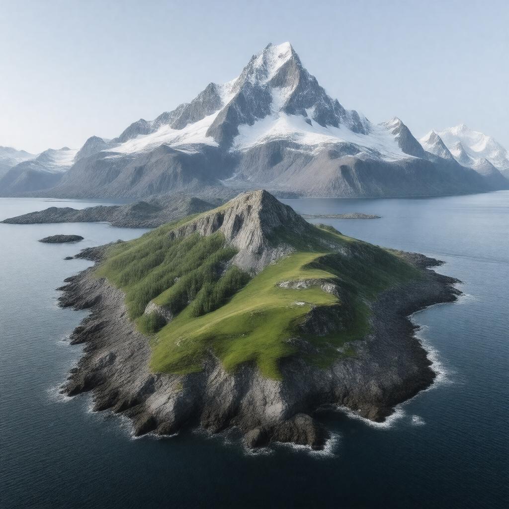
St. Matthew Island

GPTKB entity

Statements (55)
Predicate Object
gptkbp:instance_of gptkb:island
gptkbp:accessibility remote
gptkbp:area 51.6 square miles
gptkbp:climate subarctic climate
gptkbp:conservation_status protected
gptkbp:coordinates 60.5° N, 172.5° W
gptkbp:cultural_significance native heritage
gptkbp:discovered_by Russian explorers
gptkbp:discovery_year gptkb:18th_century
gptkbp:ecosystem gptkb:ecosystem
gptkbp:elevation 1,200 feet
gptkbp:environmental_concerns gptkb:invasive_species
climate change
pollution
gptkbp:fauna gptkb:mammals
seabirds
gptkbp:fishing_regulations commercial fishing
gptkbp:flora tundra vegetation
gptkbp:geological_features gptkb:volcano
gptkbp:geological_formation formed by volcanic activity
gptkbp:historical_event U. S. acquisition in 1867
gptkbp:historical_significance World War II military base
gptkbp:historical_site gptkb:archaeological_site
gptkbp:historical_use gptkb:military_training
https://www.w3.org/2000/01/rdf-schema#label St. Matthew Island
gptkbp:is_explored_in gptkb:Russian_America
American exploration
gptkbp:is_inhabited_by gptkb:Aleut_people
gptkbp:land_ownership gptkb:U._S._Fish_and_Wildlife_Service
gptkbp:landforms mountainous terrain
gptkbp:length approximately 20 miles
gptkbp:located_in gptkb:Bering_Sea
gptkbp:named_after gptkb:Saint_Matthew
gptkbp:natural_resources fishing grounds
marine resources
wildlife resources
gptkbp:parks gptkb:Bering_Land_Bridge_National_Preserve
gptkbp:part_of gptkb:United_States
gptkbp:population uninhabited
gptkbp:protected_area gptkb:wildlife
gptkbp:region gptkb:Alaska
gptkbp:research_interest ecological studies
gptkbp:species grasslands
gptkbp:surrounding_area gptkb:St._George_Island
gptkb:Hall_Island
gptkb:St._Paul_Island
gptkbp:surrounding_body_of_water gptkb:Bering_Sea
gptkbp:tourism limited
gptkbp:width approximately 10 miles
gptkbp:wildlife gptkb:whales
gptkb:seals
foxes
birdwatching
gptkbp:bfsParent gptkb:Bering_Sea
gptkbp:bfsLayer 4