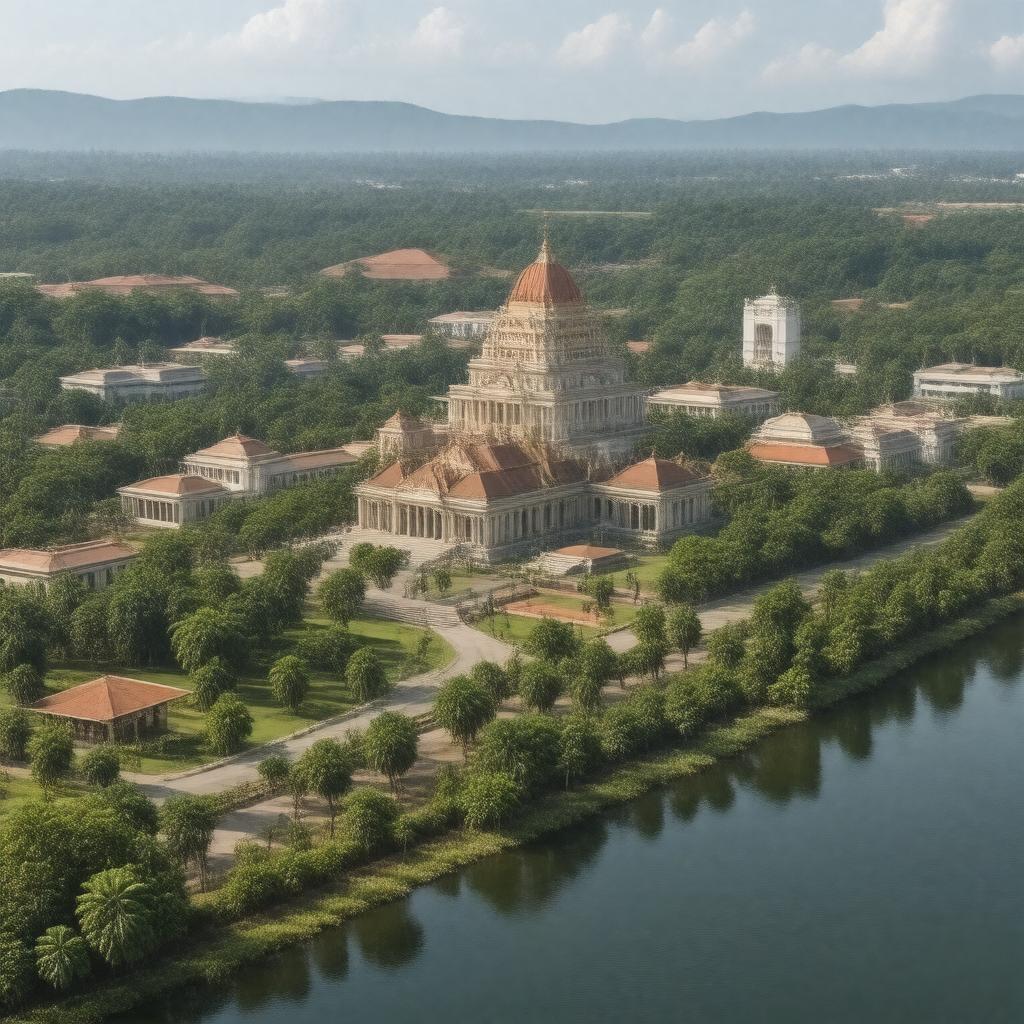
gptkbp:instanceOf
|
City
|
gptkbp:annualEvent
|
Cultural festivals
|
gptkbp:area
|
48.5 km²
|
gptkbp:borders
|
gptkb:Colombo_District
|
gptkbp:civicEngagement
|
Active community participation
|
gptkbp:climate
|
Tropical rainforest climate
Tropical climate
|
gptkbp:community
|
Health initiatives
|
gptkbp:communityEvents
|
Local fairs
|
gptkbp:communityService
|
Social services
|
gptkbp:coordinates
|
6.9271° N, 79.9585° E
|
gptkbp:culturalHeritage
|
Museums
Rich history
Multi-ethnic population
Buddhist_temples
|
gptkbp:demographics
|
Diverse population
|
gptkbp:economicActivity
|
Service sector
|
gptkbp:education
|
gptkb:University_of_Sri_Jayewardenepura
|
gptkbp:elevation
|
10 m
|
gptkbp:environment
|
Urban area
|
gptkbp:environmentalImpact
|
Urban pollution
|
gptkbp:established
|
1987
|
gptkbp:famousFor
|
Political activities
|
gptkbp:famousLandmark
|
Old Parliament Building
|
gptkbp:foundedBy
|
British_colonial_administration
|
gptkbp:geographicalFeature
|
Flat terrain
|
gptkbp:governedBy
|
Municipal_Council
|
gptkbp:governmentType
|
Municipal government
|
gptkbp:hasCapital
|
gptkb:Sri_Lanka
|
gptkbp:hasLibrary
|
Community libraries
|
gptkbp:healthcare
|
Teaching hospitals
|
gptkbp:historicalEvent
|
Independence movement
|
gptkbp:historicalFigures
|
Political leaders
|
gptkbp:historicalSignificance
|
Former_capital_of_Sri_Lanka
|
gptkbp:house
|
Suburban neighborhoods
|
https://www.w3.org/2000/01/rdf-schema#label
|
Sri Jayawardenepura Kotte
|
gptkbp:localArt
|
Art galleries
|
gptkbp:localCuisine
|
Sri Lankan cuisine
|
gptkbp:localEconomy
|
Construction industry
Economic development initiatives
Retail businesses
|
gptkbp:localGovernment
|
gptkb:Sri_Jayawardenepura_Kotte_Municipal_Council
City council
Regular elections
|
gptkbp:localHistory
|
Colonial history
|
gptkbp:localSports
|
Football clubs
|
gptkbp:localTraditions
|
Festivals
|
gptkbp:locatedIn
|
gptkb:Western_Province
|
gptkbp:majorIndustry
|
Public administration
|
gptkbp:notableFor
|
gptkb:Parliament_of_Sri_Lanka
|
gptkbp:parentOrganization
|
Community groups
|
gptkbp:population
|
115,000
|
gptkbp:postalCode
|
10100
|
gptkbp:publicAccess
|
Utilities
Police services
|
gptkbp:publicTransport
|
Bus services
Railway_stations
|
gptkbp:servedIn
|
Administrative capital
|
gptkbp:socialMedia
|
Newspapers
|
gptkbp:sportsTeam
|
Stadiums
|
gptkbp:surroundingArea
|
gptkb:Colombo
Suburban area
|
gptkbp:timeZone
|
gptkb:Sri_Lanka_Standard_Time
|
gptkbp:touristAttraction
|
Parks
|
gptkbp:transportation
|
Buses
Road networks
|
gptkbp:transportLinks
|
Major highways
|
gptkbp:website
|
www.sjk.gov.lk
|
gptkbp:youth_development
|
Infrastructure projects
City development projects
|