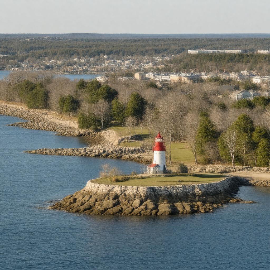
AI-created image
Statements (27)
| Predicate | Object |
|---|---|
| gptkbp:instanceOf |
gptkb:city
|
| gptkbp:areaCode |
207
|
| gptkbp:areaLandKm2 |
31.39
|
| gptkbp:areaTotalKm2 |
36.34
|
| gptkbp:areaWaterKm2 |
4.95
|
| gptkbp:borderedBy |
gptkb:Portland
gptkb:Scarborough gptkb:Westbrook gptkb:Cape_Elizabeth |
| gptkbp:country |
gptkb:United_States
|
| gptkbp:county |
gptkb:Cumberland_County
|
| gptkbp:famousFor |
gptkb:Maine_Mall
Portland International Jetport proximity |
| gptkbp:governmentType |
council-manager
|
| gptkbp:incorporated |
1898
|
| gptkbp:locatedIn |
gptkb:Maine
|
| gptkbp:mayor |
gptkb:Kate_Lewis
|
| gptkbp:notableLandmark |
gptkb:Bug_Light_Park
gptkb:Spring_Point_Ledge_Light |
| gptkbp:officialWebsite |
https://www.southportland.org/
|
| gptkbp:population |
25956
|
| gptkbp:postalCode |
04106
|
| gptkbp:timezone |
gptkb:Eastern_Time_Zone
|
| gptkbp:waterSource |
yes
|
| gptkbp:bfsParent |
gptkb:Maine
|
| gptkbp:bfsLayer |
4
|
| http://www.w3.org/2000/01/rdf-schema#label |
South Portland
|