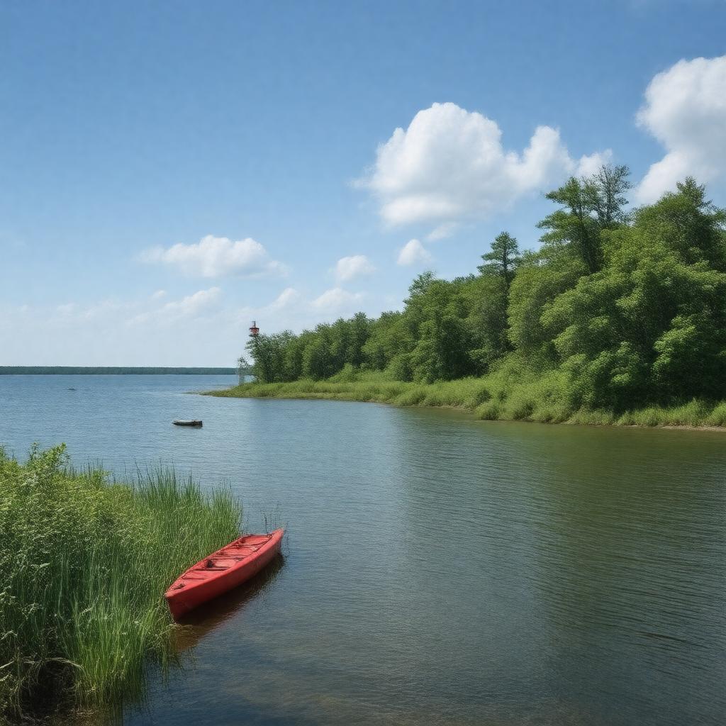
South Manitou Island

GPTKB entity

Statements (49)
Predicate Object
gptkbp:instanceOf gptkb:island
gptkbp:accessibleBy gptkb:ferry
gptkbp:area 8.277 square miles
gptkbp:country gptkb:United_States
gptkbp:county gptkb:Leelanau_County
gptkbp:elevation approximately 610 feet (186 m) above sea level
gptkbp:governedBy gptkb:National_Park_Service
gptkbp:hasCampground gptkb:Bay_Campground
gptkb:Popple_Campground
gptkb:Weather_Station_Campground
gptkbp:hasDock gptkb:Village_Dock
gptkbp:hasFeature gptkb:Florence_Lake
Crescent-shaped bay
Old Growth Cedar Forest
gptkbp:hasHistoricCemetery gptkb:South_Manitou_Island_Cemetery
gptkbp:hasHistoricFarm gptkb:Burfiend_Farm
gptkb:Hutzler_Farm
gptkbp:hasHistoricSite gptkb:South_Manitou_Island_Life-Saving_Station
gptkb:South_Manitou_Island_Schoolhouse
gptkbp:hasLighthouse gptkb:South_Manitou_Island_Lighthouse
gptkbp:hasRecreation birdwatching
camping
hiking
kayaking
swimming
historical tours
gptkbp:hasShipwreck gptkb:Walter_L._Frost
gptkb:Three_Brothers
Francisco Morazan
gptkbp:hasTrail gptkb:Bluffs_Trail
gptkb:Lighthouse_Trail
gptkb:Valley_of_the_Giants_Trail
gptkbp:hasWildlife migratory birds
white-tailed deer
https://www.w3.org/2000/01/rdf-schema#label South Manitou Island
gptkbp:length 3 miles
gptkbp:locatedIn gptkb:Lake_Michigan
gptkbp:mapType https://www.nps.gov/slbe/planyourvisit/upload/SouthManitouMap.pdf
gptkbp:nearestCity gptkb:Leland,_Michigan
gptkbp:partOf gptkb:Sleeping_Bear_Dunes_National_Lakeshore
gptkbp:population 0
gptkbp:state gptkb:Michigan
gptkbp:timezone gptkb:Eastern_Time_Zone
gptkbp:vegetation gptkb:grass
northern hardwood forest
old-growth northern white cedar
gptkbp:width 1.5 miles
gptkbp:bfsParent gptkb:Lake_Michigan
gptkbp:bfsLayer 4