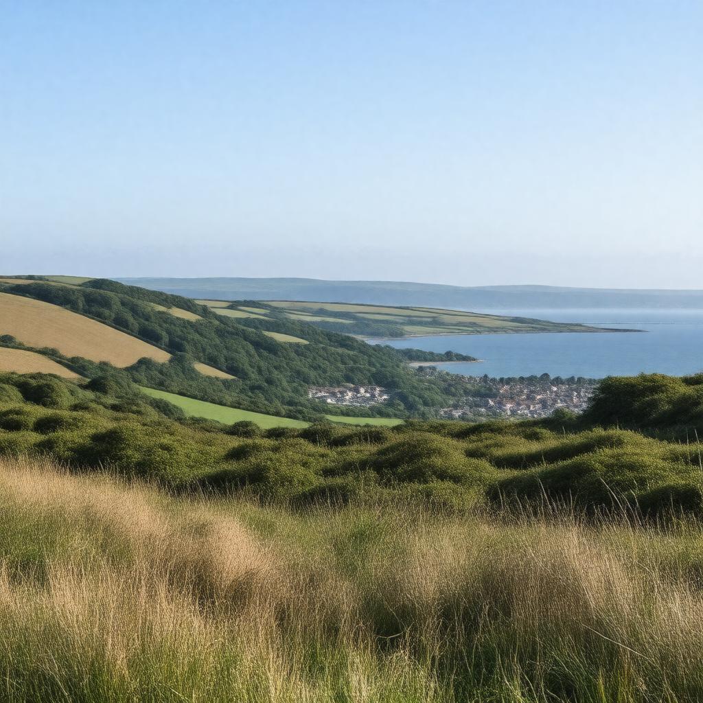
gptkbp:instance_of
|
gptkb:district
|
gptkbp:contains
|
gptkb:Salcombe
gptkb:Dartmouth
gptkb:Kingsbridge
Totnes
|
gptkbp:economy
|
gptkb:Retail
gptkb:tourism
gptkb:Agriculture
Construction
Fishing
|
gptkbp:established
|
gptkb:1974
|
gptkbp:features
|
gptkb:South_Devon_Area_of_Outstanding_Natural_Beauty
|
gptkbp:governed_by
|
gptkb:South_Hams_District_Council
|
gptkbp:habitat
|
gptkb:Wembury_Marine_Centre
gptkb:Slapton_Ley
Dartmouth and Kingswear Marine Conservation Area
|
gptkbp:has_area
|
approximately 1,200 square kilometers
|
gptkbp:has_beach
|
gptkb:English_Channel
|
gptkbp:has_education
|
gptkb:Salcombe_Primary_School
gptkb:Kingsbridge_Community_College
Dartmouth Academy
St. John’s School, Dartmouth
West Alvington Primary School
|
gptkbp:has_events
|
gptkb:Dartmouth_Food_Festival
gptkb:Dartmouth_Music_Festival
gptkb:Salcombe_Crab_Festival
Kingsbridge Fair Week
Salcombe Maritime Festival
|
gptkbp:has_population
|
approximately 83,000
|
gptkbp:has_transport_link
|
gptkb:A38_road
|
gptkbp:historical_site
|
gptkb:Dartmouth_Royal_Naval_College
gptkb:St._Saviour's_Church,_Dartmouth
gptkb:The_Butterwalk,_Dartmouth
gptkb:The_Old_Market,_Kingsbridge
The Church of St. Thomas of Canterbury, Kingsbridge
|
https://www.w3.org/2000/01/rdf-schema#label
|
South Hams
|
gptkbp:located_in
|
gptkb:Devon
|
gptkbp:part_of
|
gptkb:England
|
gptkbp:tourist_attraction
|
gptkb:Bigbury-on-Sea
gptkb:Salcombe_Harbour
gptkb:Dartmouth_Castle
gptkb:Slapton_Sands
gptkb:Agatha_Christie’s_Greenway
|
gptkbp:transportation
|
gptkb:Dartmouth_Steam_Railway
Walking paths
Local bus services
Cycle routes
Ferry services to Kingswear
|
gptkbp:bfsParent
|
gptkb:Dartmouth
|
gptkbp:bfsLayer
|
4
|