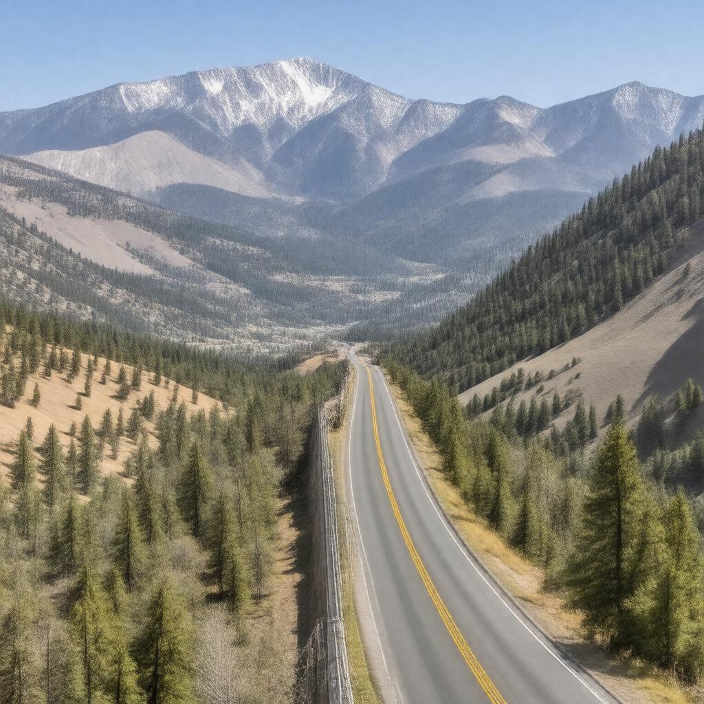
AI-created image
Statements (29)
| Predicate | Object |
|---|---|
| gptkbp:instanceOf |
gptkb:mountain
|
| gptkbp:closed |
gptkb:winter
|
| gptkbp:closedSeasonally |
yes
|
| gptkbp:connects |
gptkb:Mono_County
gptkb:Tuolumne_County |
| gptkbp:crosses |
California State Route 108
|
| gptkbp:elevation |
9624 ft
|
| gptkbp:hasAttraction |
yes
|
| gptkbp:hasSharpCurves |
yes
|
| gptkbp:hasSteepGrades |
yes
|
| gptkbp:highestPoint |
California State Route 108
|
| gptkbp:latitude |
38.3272 N
|
| gptkbp:locatedIn |
gptkb:California
gptkb:Sierra_Nevada |
| gptkbp:longitude |
-119.6357 W
|
| gptkbp:managedBy |
gptkb:U.S._Forest_Service
|
| gptkbp:namedAfter |
gptkb:Sonora,_California
|
| gptkbp:nearestCity |
gptkb:Bridgeport
gptkb:Sonora |
| gptkbp:opened |
1865
|
| gptkbp:popularFor |
hiking
scenic driving motorcycling |
| gptkbp:region |
gptkb:Humboldt-Toiyabe_National_Forest
gptkb:Stanislaus_National_Forest |
| gptkbp:usedBy |
gptkb:Pacific_Crest_Trail
|
| gptkbp:bfsParent |
gptkb:Sierra_Nevada
|
| gptkbp:bfsLayer |
5
|
| http://www.w3.org/2000/01/rdf-schema#label |
Sonora Pass
|