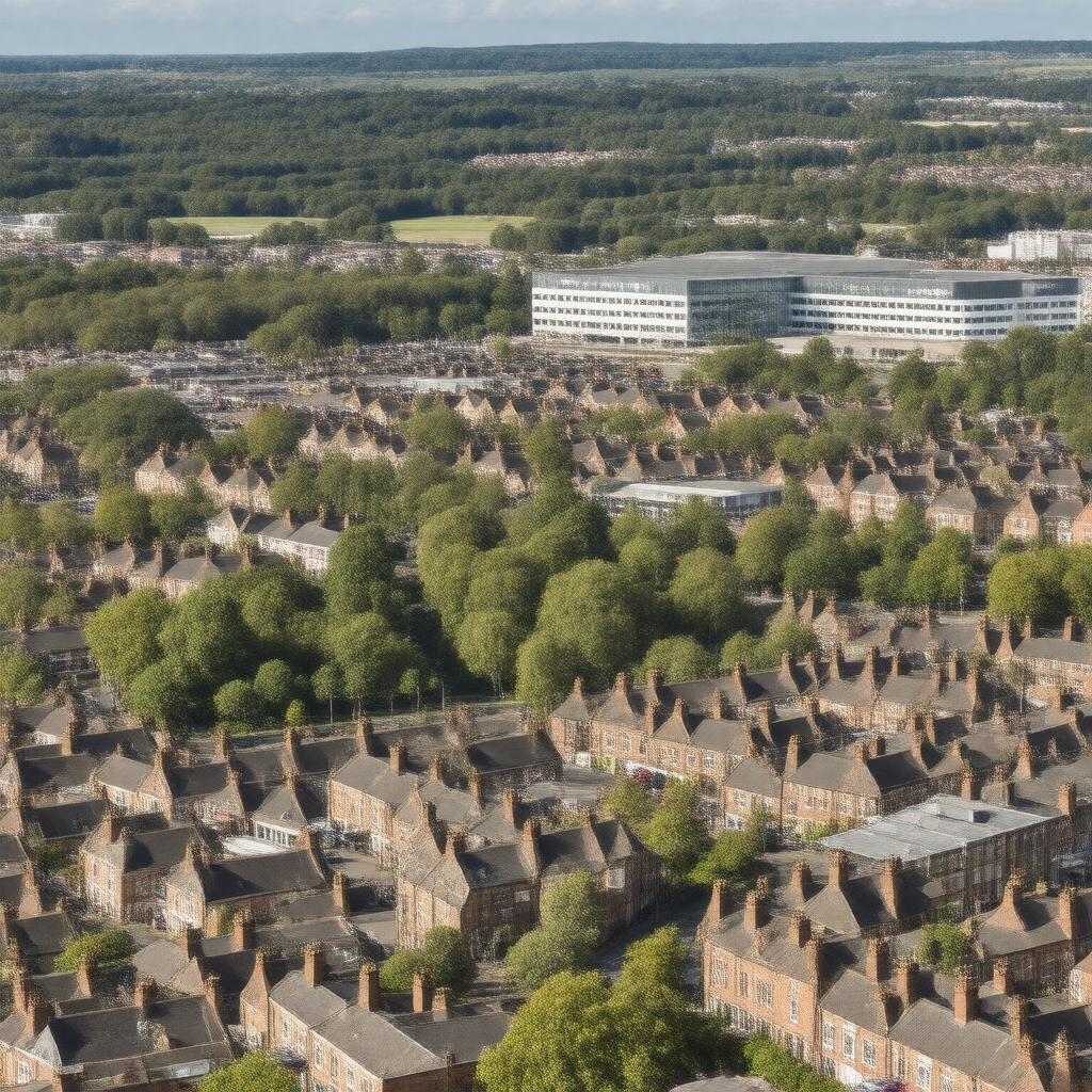
Solihull

GPTKB entity

Statements (55)
Predicate Object
gptkbp:instanceOf gptkb:civil_parish
gptkb:town
gptkbp:country gptkb:England
gptkbp:dialCode 0121
gptkbp:distance Birmingham: 7.5 miles southeast
London: 110 miles northwest
gptkbp:etymology derived from 'soily hill'
gptkbp:famousFor gptkb:Solihull_Moors_F.C.
gptkb:Arden_Academy
gptkb:Jaguar_Land_Rover_factory
gptkb:Malvern_and_Brueton_Park
gptkb:Solihull_School
gptkb:St_Alphege_Church
gptkb:Touchwood_shopping_centre
gptkb:Tudor_Grange_Academy
National Exhibition Centre (nearby)
gptkbp:founded medieval period
gptkbp:governingBody gptkb:Solihull_Metropolitan_Borough_Council
gptkbp:hasFootballClub gptkb:Solihull_Moors_F.C.
gptkbp:hasHospital gptkb:Solihull_Hospital
gptkbp:hasPark gptkb:Malvern_and_Brueton_Park
gptkbp:hasRailwayStation gptkb:Solihull_railway_station
gptkbp:hasShoppingCentre gptkb:Touchwood
gptkbp:historicalCounty gptkb:Warwickshire
https://www.w3.org/2000/01/rdf-schema#label Solihull
gptkbp:latitude 52.4128
gptkbp:locatedIn gptkb:West_Midlands
gptkbp:longitude -1.7782
gptkbp:metropolitanBorough gptkb:Solihull
gptkbp:osGridReference SP1579
gptkbp:parliamentaryConstituency gptkb:Meriden
gptkb:Solihull
gptkbp:population 123187
gptkbp:postcodeDistrict gptkb:B90
gptkb:B92
B91
B93
B94
gptkbp:region gptkb:West_Midlands
gptkbp:timezone gptkb:GMT
gptkbp:timezoneDST gptkb:BST
gptkbp:twinTown gptkb:Roanne
gptkb:Cholet
gptkb:Main-Taunus-Kreis
gptkbp:website https://www.solihull.gov.uk/
gptkbp:bfsParent gptkb:West_Midlands
gptkb:West_Midlands_(UK)
gptkb:Chiltern_Main_Line
gptkb:Chiltern_Railways
gptkb:Birmingham_Airport
gptkb:West_Midlands_(county)
gptkb:Jaguar_Land_Rover
gptkb:Richard_Mark_Hammond
gptkb:Solihull,_England
gptkbp:bfsLayer 5