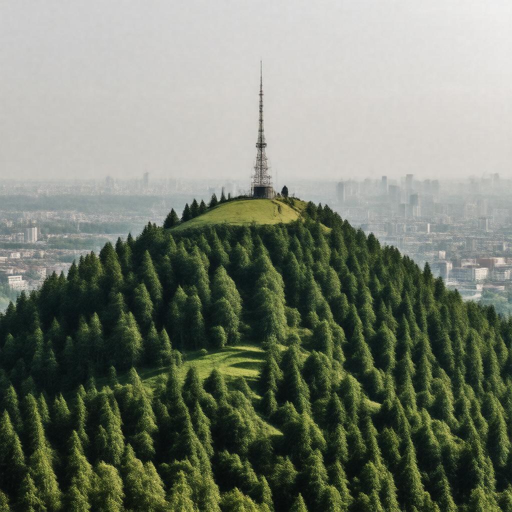
AI-created image
Statements (42)
| Predicate | Object |
|---|---|
| gptkbp:instanceOf |
gptkb:mountain
|
| gptkbp:elevation |
132 metres
|
| gptkbp:feature |
gptkb:forest
gptkb:historic_building gptkb:residential_area gptkb:suburb gptkb:water gptkb:bus_route gptkb:golf_course Victorian architecture Eaglesfield Park Fox Under the Hill (historic pub) Green Chain Walk London Loop Oxleas Wood The Bull (historic pub) The Red Lion (historic pub) The Sun in the Sands (historic pub) Woodlands Farm broadcasting mast close to Blackheath close to Charlton close to Eltham close to Kidbrooke close to Plumstead close to Welling close to Woolwich historically Kent memorial hospital part of Greater London public transport links views over London |
| gptkbp:highestPoint |
gptkb:London_Borough_of_Greenwich
|
| gptkbp:historicalSignificance |
site of Roman road (Watling Street)
|
| gptkbp:locatedIn |
gptkb:Royal_Borough_of_Greenwich
|
| gptkbp:location |
gptkb:London
|
| gptkbp:notableLandmark |
Severndroog Castle
Shrewsbury House |
| gptkbp:postcodeDistrict |
SE18
|
| gptkbp:bfsParent |
gptkb:Greater_London
|
| gptkbp:bfsLayer |
4
|
| http://www.w3.org/2000/01/rdf-schema#label |
Shooter's Hill
|