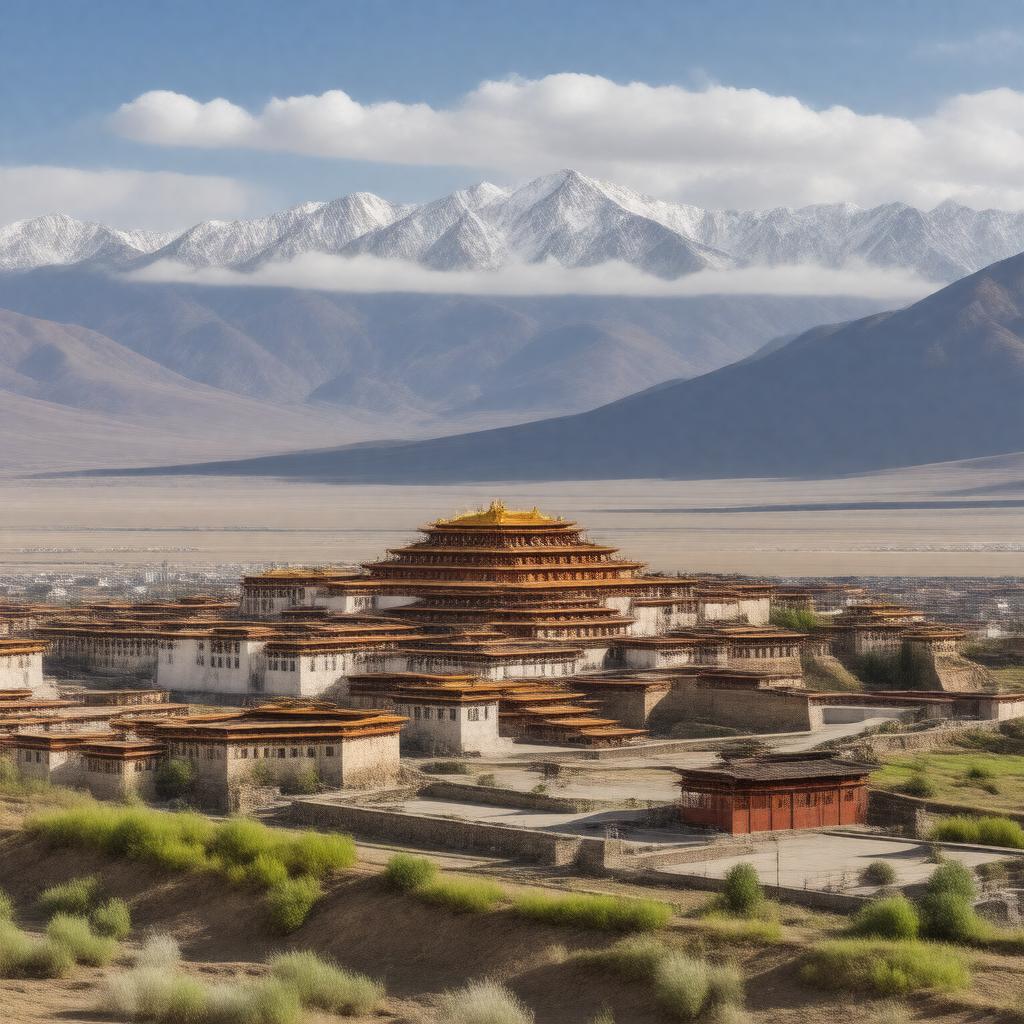
gptkbp:instanceOf
|
gptkb:city
gptkb:prefecture-level_city
|
gptkbp:administrativeDivision
|
gptkb:Tibet_Autonomous_Region
|
gptkbp:alternativeName
|
gptkb:Rikaze
gptkb:Xigazê
|
gptkbp:area
|
182,000 square kilometers
|
gptkbp:climate
|
highland climate
|
gptkbp:contains
|
gptkb:Tashilhunpo_Monastery
gptkb:Mount_Everest_(Qomolangma)_region
|
gptkbp:country
|
gptkb:China
|
gptkbp:elevation
|
3,836 meters
|
gptkbp:famousFor
|
gptkb:Tashilhunpo_Monastery
Panchen Lama's seat
proximity to Mount Everest
|
gptkbp:governingBody
|
gptkb:Shigatse_Municipal_People's_Government
|
gptkbp:hasAirport
|
gptkb:Shigatse_Peace_Airport
|
gptkbp:hasDistrict
|
gptkb:Samzhubzê_District
|
gptkbp:hasRailwayStation
|
gptkb:Shigatse_Railway_Station
|
https://www.w3.org/2000/01/rdf-schema#label
|
Shigatse
|
gptkbp:ISO_3166-2_code
|
CNRKZ
|
gptkbp:locatedIn
|
gptkb:Tibet_Autonomous_Region
|
gptkbp:locatedOn
|
gptkb:Yarlung_Tsangpo_River
|
gptkbp:officialLanguage
|
gptkb:Chinese
gptkb:Tibetan
|
gptkbp:population
|
about 700,000
|
gptkbp:postalCode
|
857000
|
gptkbp:region
|
540200
|
gptkbp:subdivision
|
gptkb:district
counties
|
gptkbp:timezone
|
gptkb:China_Standard_Time
|
gptkbp:bfsParent
|
gptkb:Tibet
gptkb:Tashilhunpo_Monastery
gptkb:Panchen_Lama_institution
gptkb:Tibetans
|
gptkbp:bfsLayer
|
5
|