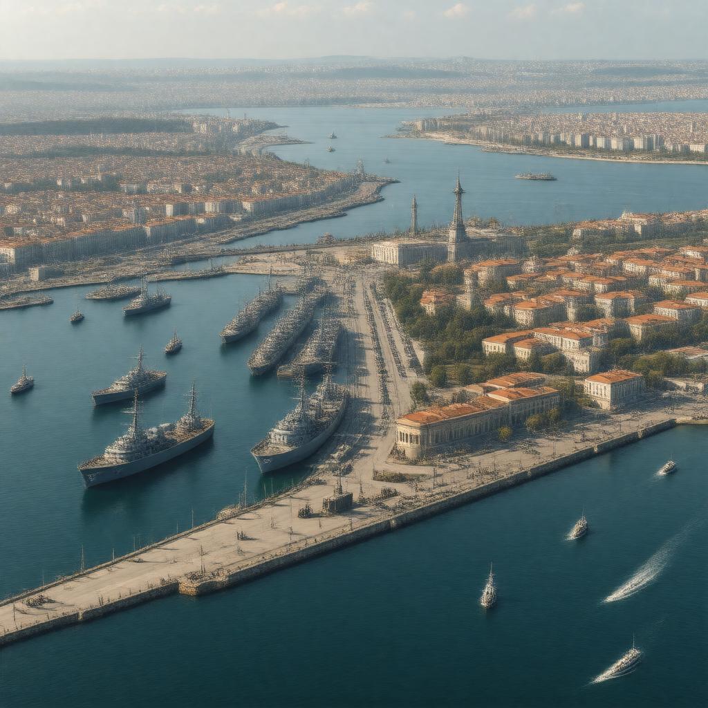
AI-created image
Statements (28)
| Predicate | Object |
|---|---|
| gptkbp:instanceOf |
gptkb:port
|
| gptkbp:controlledBy |
gptkb:Russia_(since_2014)
|
| gptkbp:coordinates |
44.6167° N, 33.5250° E
|
| gptkbp:country |
gptkb:Russia
gptkb:Ukraine |
| gptkbp:disputed_territory |
gptkb:Crimea
|
| gptkbp:hasFacility |
dry docks
cargo terminals passenger terminals ship repair yards |
| gptkbp:historicalEvent |
gptkb:Siege_of_Sevastopol_(1854–1855)
gptkb:Siege_of_Sevastopol_(1941–1942) |
| gptkbp:historicalSignificance |
gptkb:Crimean_War
|
| gptkbp:ISO_3166-2_code |
RUSEV
|
| gptkbp:locatedOn |
gptkb:Black_Sea
|
| gptkbp:location |
gptkb:Sevastopol
|
| gptkbp:mainFunction |
gptkb:military
commercial port |
| gptkbp:opened |
1783
|
| gptkbp:part_of |
gptkb:Crimea_Peninsula
|
| gptkbp:strategicImportance |
gptkb:Black_Sea_Fleet_headquarters
|
| gptkbp:timezone |
MSK (UTC+3)
|
| gptkbp:type |
gptkb:marina
|
| gptkbp:used_in |
gptkb:Russian_Navy
gptkb:Ukrainian_Navy |
| gptkbp:bfsParent |
gptkb:Sevastopol
|
| gptkbp:bfsLayer |
5
|
| http://www.w3.org/2000/01/rdf-schema#label |
Sevastopol Port
|