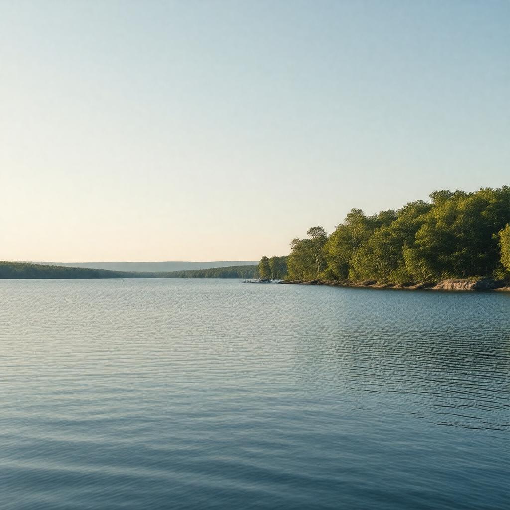
gptkbp:instanceOf
|
gptkb:lake
|
gptkbp:area
|
123.5 km²
|
gptkbp:basinCountry
|
gptkb:United_States
|
gptkbp:catchmentArea
|
741 km²
|
gptkbp:country
|
gptkb:United_States
|
gptkbp:elevation
|
82 m
|
gptkbp:formedBy
|
glacial activity
|
gptkbp:hasCity
|
gptkb:Naples
gptkb:Standish
gptkb:Raymond
gptkb:Casco
gptkb:Frye_Island
gptkb:Sebago
gptkb:Windham
|
gptkbp:hasIsland
|
gptkb:Goose_Island
gptkb:Green_Island
gptkb:Horse_Island
gptkb:Basin_Island
gptkb:Frye_Island
gptkb:Hawkins_Island
gptkb:Indian_Island
gptkb:Nason_Island
gptkb:Outer_Green_Island
gptkb:Ram_Island
gptkb:Richards_Island
gptkb:Sandy_Island
gptkb:Whaleboat_Island
Outer Islands
|
https://www.w3.org/2000/01/rdf-schema#label
|
Sebago Lake
|
gptkbp:inflow
|
gptkb:Jordan_River
gptkb:Muddy_River
gptkb:Crooked_River
gptkb:Northwest_River
gptkb:Songo_River
gptkb:Sticky_River
|
gptkbp:length
|
22.7 km
|
gptkbp:locatedIn
|
gptkb:Cumberland_County
gptkb:Maine
gptkb:Oxford_County
|
gptkbp:maximumDepth
|
31 m
107 m
|
gptkbp:notableFor
|
deepest lake in Maine
second largest lake in Maine by surface area
|
gptkbp:outflow
|
gptkb:Presumpscot_River
|
gptkbp:protectedBy
|
gptkb:Sebago_Lake_State_Park
|
gptkbp:recreationalActivity
|
boating
camping
fishing
hiking
swimming
|
gptkbp:source
|
Portland's drinking water
|
gptkbp:volume
|
4.1 km³
|
gptkbp:waterSource
|
freshwater
|
gptkbp:width
|
12.9 km
|
gptkbp:bfsParent
|
gptkb:Maine
|
gptkbp:bfsLayer
|
4
|