gptkbp:instance_of
|
gptkb:river
|
gptkbp:conservation_efforts
|
habitat protection
restoration projects
water quality monitoring
|
gptkbp:crosses
|
gptkb:Franklin_County
gptkb:Clinton_County
gptkb:Harrison_County
gptkb:Bracken_County
gptkb:Columbus,_Ohio
gptkb:Gallatin_County
gptkb:Lawrence_County
gptkb:Pickaway_County
gptkb:Bourbon_County
gptkb:Hocking_County
gptkb:Marion_County
gptkb:Montgomery_County
gptkb:Pendleton_County
gptkb:Ross_County
gptkb:Union_County
gptkb:Chillicothe,_Ohio
gptkb:Clark_County
gptkb:Pike_County
gptkb:Nicholas_County
gptkb:Kenton_County
gptkb:Jackson_County
gptkb:Madison_County
gptkb:Mercer_County
gptkb:Campbell_County
gptkb:Grant_County
gptkb:Anderson_County
gptkb:Woodford_County
gptkb:Circleville,_Ohio
gptkb:Robertson_County
gptkb:Scott_County
gptkb:Morrow_County
gptkb:Boone_County
Adams County
Fayette County
Greene County
Hardin County
Owen County
|
gptkbp:cultural_significance
|
local festivals
|
gptkbp:drainage_basin
|
4,000 square miles
Scioto River Basin
5,400 square miles
|
gptkbp:ecosystem
|
wetlands
riparian zones
floodplains
|
gptkbp:environmental_concerns
|
pollution
|
gptkbp:fish_species
|
gptkb:fish
gptkb:trout
bass
bluegill
crappie
perch
pike
walleye
|
gptkbp:flood_control
|
moderate
dam systems
|
gptkbp:flows_into
|
gptkb:Franklin_County
gptkb:Pickaway_County
gptkb:Ross_County
gptkb:Delaware_County
gptkb:Ohio_River
Fayette County
|
gptkbp:historical_event
|
gptkb:Battle_of_the_Scioto_River
used for transportation in the 19th century
|
gptkbp:historical_significance
|
Native American settlements
important for Native American tribes
|
gptkbp:historical_use
|
gptkb:transportation
gptkb:trade_route
|
https://www.w3.org/2000/01/rdf-schema#label
|
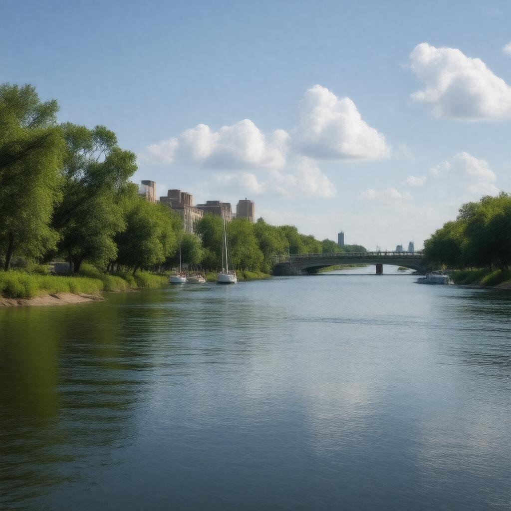
Scioto River
|
gptkbp:length
|
231 miles
|
gptkbp:located_in
|
gptkb:Columbus
|
gptkbp:location
|
gptkb:Ohio
|
gptkbp:major_city
|
gptkb:Circleville
gptkb:Columbus
gptkb:Chillicothe
Waverly
|
gptkbp:merged_with
|
gptkb:Ohio_River
Ohio River at Portsmouth, Ohio
|
gptkbp:mouth
|
gptkb:Ohio_River
|
gptkbp:named_after
|
the Scioto tribe
|
gptkbp:navigable
|
yes
|
gptkbp:part_of
|
Scioto River watershed
|
gptkbp:recreation
|
gptkb:Battelle_Riverfront_Park
gptkb:Scioto_Mile
gptkb:Scioto_Audubon_Metro_Park
gptkb:Scioto_Greenway_Trail
gptkb:hiking_trails
fishing
hiking
boating
Franklin Park Conservatory
|
gptkbp:source
|
gptkb:Scioto_County,_Ohio
|
gptkbp:surrounding_cities
|
gptkb:Circleville
gptkb:Portsmouth
gptkb:Columbus
gptkb:Chillicothe
Waverly
|
gptkbp:survivability
|
partially navigable
|
gptkbp:tributary_of
|
gptkb:Ohio_River
gptkb:Olentangy_River
|
gptkbp:water_quality
|
varies by location
improving
|
gptkbp:water_source
|
drinking water
|
gptkbp:wildlife
|
gptkb:birds
gptkb:mammals
various species of fish
|
gptkbp:bfsParent
|
gptkb:Columbus,_Ohio
gptkb:Ohio
gptkb:Columbus
gptkb:U._S._Route_29
|
gptkbp:bfsLayer
|
4
|