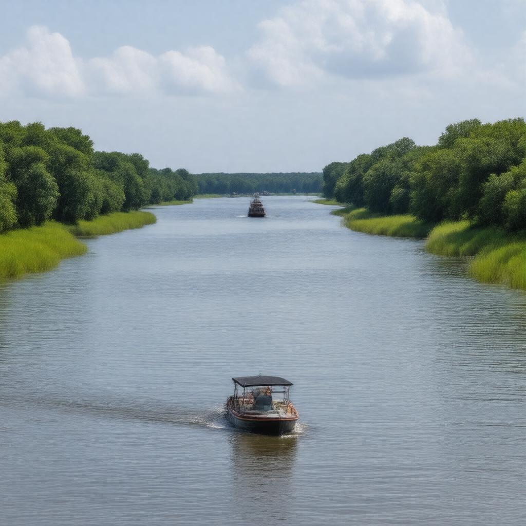
AI-created image
Statements (27)
| Predicate | Object |
|---|---|
| gptkbp:instanceOf |
gptkb:river
|
| gptkbp:borders |
gptkb:Georgia
gptkb:South_Carolina |
| gptkbp:country |
gptkb:United_States
|
| gptkbp:emptiesInto |
gptkb:Atlantic_Ocean
|
| gptkbp:flowsThrough |
gptkb:Georgia
gptkb:South_Carolina |
| gptkbp:length |
301 miles
|
| gptkbp:locatedIn |
gptkb:United_States
|
| gptkbp:majorCity |
gptkb:Savannah
|
| gptkbp:mouthLocation |
near Savannah, Georgia
|
| gptkbp:notableFeature |
gptkb:Savannah_National_Wildlife_Refuge
gptkb:Savannah_River_Site gptkb:Augusta_Canal |
| gptkbp:source |
confluence of Tugaloo River and Seneca River
|
| gptkbp:tributaryOf |
gptkb:Seneca_River
gptkb:Little_River gptkb:Augusta_Canal gptkb:Broad_River gptkb:Tugaloo_River |
| gptkbp:usedFor |
gptkb:navigation
hydroelectric power recreation drinking water supply |
| gptkbp:bfsParent |
gptkb:South_Carolina
|
| gptkbp:bfsLayer |
4
|
| http://www.w3.org/2000/01/rdf-schema#label |
Savannah River
|