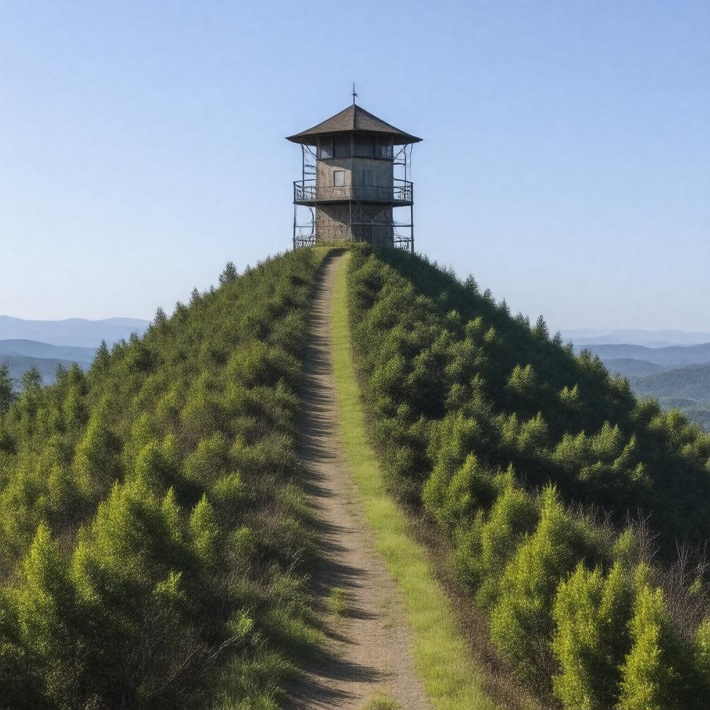
gptkbp:instance_of
|
gptkb:mountain
|
gptkbp:accessibility
|
Accessible by car
|
gptkbp:best_time_to_visit
|
Spring and Fall
|
gptkbp:campground
|
Camping available nearby
|
gptkbp:climate
|
Temperate climate
|
gptkbp:community_events
|
Outdoor events hosted
|
gptkbp:community_involvement
|
Local volunteer groups
|
gptkbp:community_partnerships
|
Collaborations with local organizations
|
gptkbp:conservation
|
Programs for schools
|
gptkbp:conservation_efforts
|
Ongoing conservation initiatives
|
gptkbp:coordinates
|
35.0075° N, 82.8306° W
|
gptkbp:cultural_events
|
Local festivals
|
gptkbp:educational_programs
|
Nature education programs
|
gptkbp:elevation
|
3,560 feet
|
gptkbp:environmental_concerns
|
Protected area status
Erosion and habitat loss
|
gptkbp:famous_landmark
|
Nearby historic sites
|
gptkbp:fauna
|
Black bears
|
gptkbp:first_ascent
|
gptkb:Unknown
|
gptkbp:flora
|
Various species of trees
|
gptkbp:geographical_feature
|
Highest point in South Carolina
|
gptkbp:geological_features
|
Granite and gneiss formations
|
gptkbp:historical_significance
|
Cultural significance to Native Americans
|
https://www.w3.org/2000/01/rdf-schema#label
|
Sassafras Mountain
|
gptkbp:is_accessible_by
|
gptkb:Sassafras_Mountain_Scenic_Area
|
gptkbp:land_ownership
|
gptkb:agricultural_land
|
gptkbp:land_use
|
Managed by U. S. Forest Service
|
gptkbp:landmark
|
State park designation
|
gptkbp:landscape
|
Diverse ecosystems
|
gptkbp:local_art
|
Inspired local artists
|
gptkbp:local_economy
|
Tourism impact on economy
|
gptkbp:local_history
|
Rich history of exploration
|
gptkbp:local_legends
|
Folklore associated with the mountain
|
gptkbp:located_in
|
gptkb:South_Carolina
|
gptkbp:major_rivers
|
gptkb:Saluda_River
|
gptkbp:nearest_city
|
Pickens
|
gptkbp:nearest_trailhead
|
gptkb:Sassafras_Mountain_Trailhead
|
gptkbp:part_of
|
gptkb:Blue_Ridge_Mountains
|
gptkbp:photography
|
Popular photography location
|
gptkbp:popular_activities
|
Hiking
|
gptkbp:prominence
|
1,000 feet
|
gptkbp:recreation
|
Picnic areas
Fishing opportunities nearby
|
gptkbp:research_opportunities
|
Ecological studies conducted
|
gptkbp:safety_measures
|
Hiking safety tips
|
gptkbp:scenic_views
|
gptkb:Cherokee_Foothills_Scenic_Highway
|
gptkbp:seasonal_activities
|
Beautiful fall foliage
Winter sports available
|
gptkbp:surrounding_area
|
gptkb:Sumter_National_Forest
|
gptkbp:terrain
|
gptkb:USGS_Table_Rock
|
gptkbp:trails
|
Moderate to difficult
|
gptkbp:transportation
|
Public transport access limited
|
gptkbp:user_manual
|
Guided tours available.
|
gptkbp:viewing_platform
|
Observation points available
|
gptkbp:viewpoint
|
Panoramic views of the Blue Ridge Mountains
|
gptkbp:visitors
|
Thousands annually
|
gptkbp:weather_conditions
|
Variable weather conditions
|
gptkbp:wildflower_trails
|
Designated trails for wildflower viewing
|
gptkbp:wildflowers
|
Mountain laurel and rhododendron
|
gptkbp:wildlife
|
Birdwatching opportunities
Deer and small mammals
|
gptkbp:bfsParent
|
gptkb:South_Carolina
|
gptkbp:bfsLayer
|
4
|