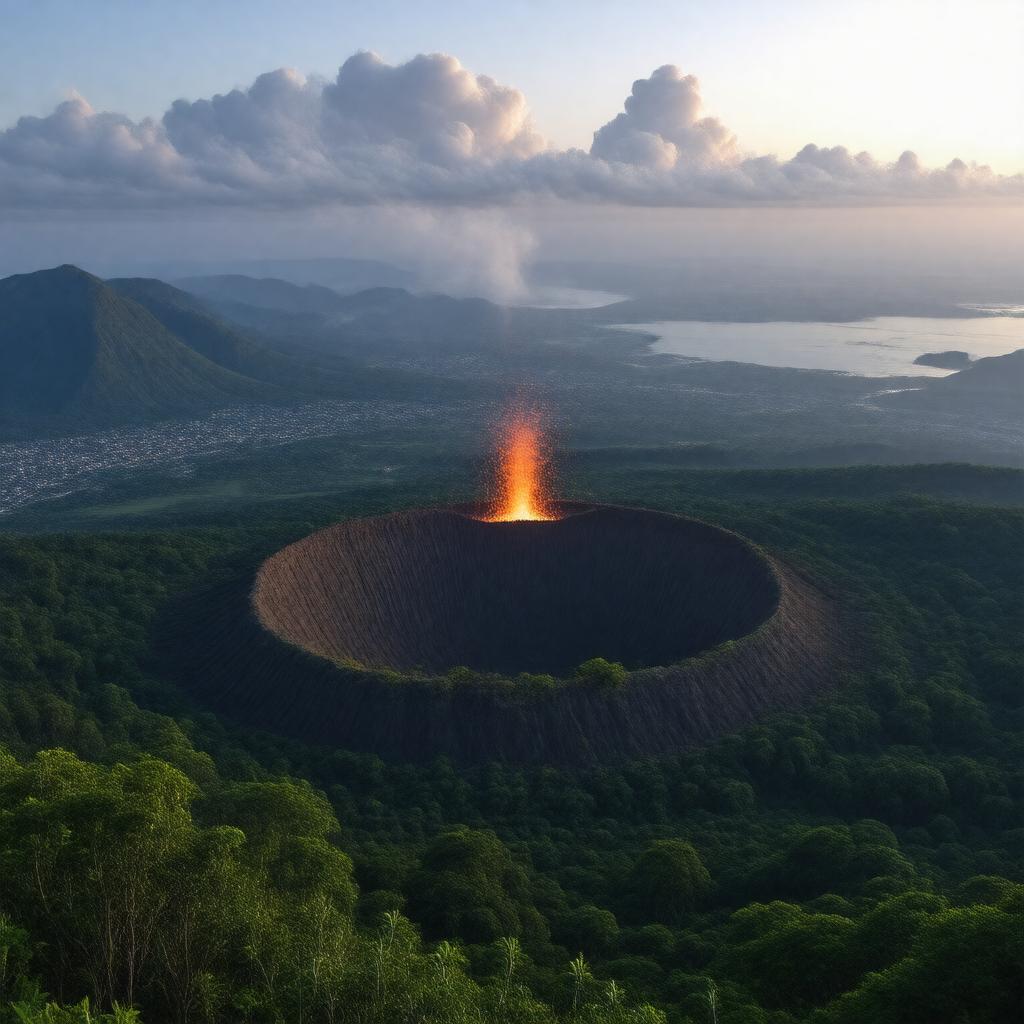
gptkbp:instanceOf
|
volcano
|
gptkbp:accessibility
|
hiking trails
|
gptkbp:adjacentTo
|
gptkb:San_Miguel_Volcano
Ilamatepeq Volcano
|
gptkbp:area
|
Santa_Ana_Department
|
gptkbp:bestTimeToVisit
|
November to March
|
gptkbp:climate
|
tropical highland
|
gptkbp:climbRate
|
moderate to difficult
|
gptkbp:communityInvolvement
|
local guides
|
gptkbp:coordinates
|
13.885° N, 89.645° W
|
gptkbp:culturalEvents
|
held annually
|
gptkbp:culturalSignificance
|
sacred to indigenous peoples
|
gptkbp:currentStatus
|
2016
|
gptkbp:educationalPrograms
|
available
|
gptkbp:elevation
|
2381 meters
|
gptkbp:environmentalImpact
|
deforestation concerns
|
gptkbp:firstGeneration
|
200 AD
|
gptkbp:flora
|
cloud forest
|
gptkbp:geologicalFeatures
|
gptkb:Central_America_Volcanic_Arc
Yes
Holocene
basalt
lahars
pyroclastic flows
subduction zone
andesite
caldera
ashfall
dacite
|
gptkbp:historicalSignificance
|
important for local culture
|
https://www.w3.org/2000/01/rdf-schema#label
|
Santa Ana Volcano
|
gptkbp:is_monitored_by
|
gptkb:Servicio_Nacional_de_Estudios_Territoriales
|
gptkbp:landingGear
|
gptkb:Lake_Coatepeque
|
gptkbp:landUse
|
recreation
|
gptkbp:lastProduced
|
2005
2016
2023
|
gptkbp:localEconomy
|
tourism dependent
|
gptkbp:localNames
|
Ilamatepeq
|
gptkbp:localWildlife
|
various species
|
gptkbp:locatedIn
|
gptkb:El_Salvador
|
gptkbp:nearestCity
|
gptkb:Santa_Ana
|
gptkbp:prominence
|
1811 meters
|
gptkbp:researchInterest
|
geology and volcanology
|
gptkbp:rotorDiameter
|
6 kilometers
|
gptkbp:safety
|
Moderate
|
gptkbp:safetyFeatures
|
implemented
|
gptkbp:slopeRating
|
steep
|
gptkbp:soilType
|
explosive
|
gptkbp:suburb
|
Yes
|
gptkbp:surroundingArea
|
protected area
|
gptkbp:tourism
|
significant
|
gptkbp:touristAttraction
|
Yes
|
gptkbp:type
|
stratovolcano
|
gptkbp:UNESCO_World_Heritage_Site
|
No
|
gptkbp:viewpoint
|
Yes
|