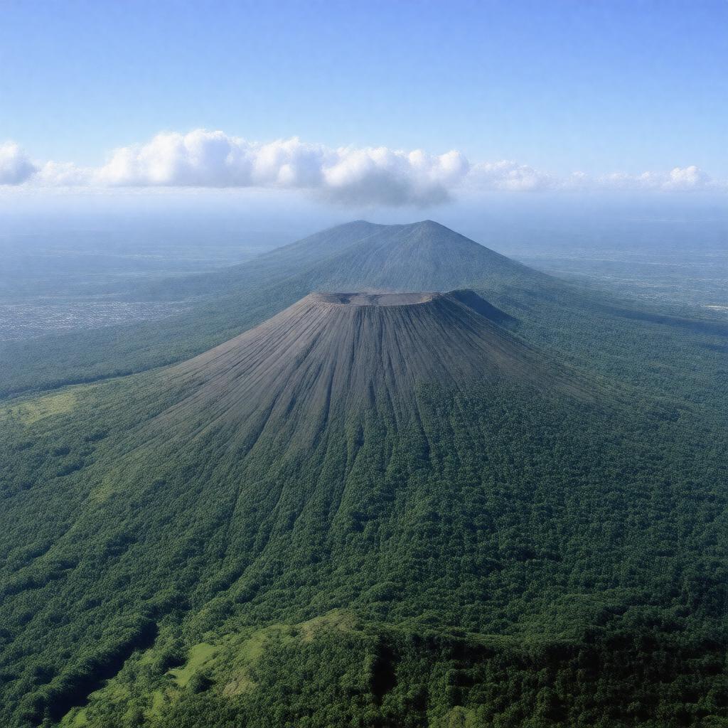
AI-created image
Statements (28)
| Predicate | Object |
|---|---|
| gptkbp:instanceOf |
gptkb:stratovolcano
|
| gptkbp:alsoKnownAs |
gptkb:Volcán_Chaparrastique
|
| gptkbp:calderaDiameter |
1 km
|
| gptkbp:country |
gptkb:El_Salvador
|
| gptkbp:elevation |
2130 m
|
| gptkbp:geologicalAge |
Holocene
|
| gptkbp:hasCrater |
yes
|
| gptkbp:lastEruption |
2022
|
| gptkbp:latitude |
13.434° N
|
| gptkbp:locatedIn |
gptkb:El_Salvador
|
| gptkbp:locatedNear |
gptkb:San_Miguel_(city)
|
| gptkbp:longitude |
88.269° W
|
| gptkbp:monitors |
gptkb:Servicio_Nacional_de_Estudios_Territoriales_(SNET)
|
| gptkbp:notableVolcano |
1976
2002 2013 |
| gptkbp:partOf |
gptkb:Central_America_Volcanic_Arc
|
| gptkbp:photo |
yes
|
| gptkbp:prominence |
2130 m
|
| gptkbp:riskFactor |
high
|
| gptkbp:riskToPopulation |
significant
|
| gptkbp:type |
andesitic stratovolcano
|
| gptkbp:UNESCOWorldHeritageSite |
no
|
| gptkbp:volcanicOrigin |
1403-03=
|
| gptkbp:volcanoType |
gptkb:explosive
|
| gptkbp:bfsParent |
gptkb:El_Salvador
|
| gptkbp:bfsLayer |
5
|
| http://www.w3.org/2000/01/rdf-schema#label |
San Miguel Volcano
|