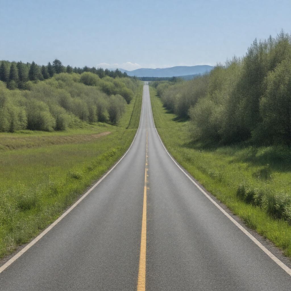
gptkbp:instance_of
|
gptkb:Highway
|
gptkbp:designated_as
|
gptkb:Scenic_Byway
|
gptkbp:ends_at
|
gptkb:Route_495
gptkb:Route_1_A
|
gptkbp:established
|
1926
|
gptkbp:has_historical_significance
|
part of early 20th-century road development in Massachusetts
|
gptkbp:has_intersections_with
|
gptkb:Route_9
gptkb:Route_126
gptkb:Route_135
gptkb:Route_1
gptkb:Route_140_A
Route 20
Route 16
Route 27
|
https://www.w3.org/2000/01/rdf-schema#label
|
Route 140
|
gptkbp:is_connected_to
|
gptkb:I-95
gptkb:I-90
gptkb:I-495
walking trails
local roads
bike paths
public transit routes
regional highways
|
gptkbp:is_known_for
|
community events
local businesses
scenic landscapes
historical landmarks
|
gptkbp:is_maintained_by
|
gptkb:Massachusetts_Department_of_Transportation
gptkb:state_government
|
gptkbp:is_part_of
|
National Highway System
New England road network
local transportation infrastructure
|
gptkbp:is_popular_for
|
recreational activities
local tourism
|
gptkbp:is_subject_to
|
traffic regulations
weather conditions
construction projects
road maintenance schedules
|
gptkbp:is_used_by
|
pedestrians
cyclists
motorists
|
gptkbp:is_used_for
|
commercial transport
commuting
|
gptkbp:length
|
approximately 30 miles
|
gptkbp:part_of
|
gptkb:Massachusetts_state_highway_system
|
gptkbp:route
|
gptkb:Route_141
gptkb:Route_139
|
gptkbp:runs_through
|
gptkb:Massachusetts
|
gptkbp:scenic_views
|
gptkb:Blackstone_River_Valley
|
gptkbp:serves
|
towns of Bellingham
towns of Franklin
towns of Milford
towns of Northbridge
towns of Uxbridge
|
gptkbp:bfsParent
|
gptkb:Golden_Gate_Transit
|
gptkbp:bfsLayer
|
5
|