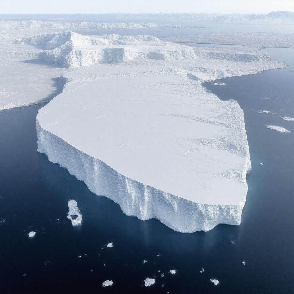
gptkbp:instanceOf
|
gptkb:lake
|
gptkbp:area
|
about 487,000 square kilometers
|
gptkbp:borderedBy
|
gptkb:Barne_Glacier
gptkb:Beardmore_Glacier
gptkb:Byrd_Glacier
gptkb:Edward_VII_Peninsula
gptkb:Gould_Coast
gptkb:Keltie_Glacier
gptkb:King_Edward_VII_Land
gptkb:Leverett_Glacier
gptkb:Liv_Glacier
gptkb:Mulock_Glacier
gptkb:Scott_Glacier
gptkb:Shackleton_Coast
gptkb:Shirase_Coast
gptkb:Siple_Coast
gptkb:Skelton_Glacier
gptkb:Amundsen_Coast
gptkb:Marie_Byrd_Land
gptkb:Roosevelt_Island
gptkb:Ross_Sea
gptkb:Transantarctic_Mountains
|
gptkbp:climate
|
polar
|
gptkbp:contains
|
gptkb:Barne_Glacier
gptkb:Beardmore_Glacier
gptkb:Black_Island
gptkb:Brown_Island
gptkb:Byrd_Glacier
gptkb:Keltie_Glacier
gptkb:King_Edward_VII_Land
gptkb:Leverett_Glacier
gptkb:Liv_Glacier
gptkb:Minna_Bluff
gptkb:Scott_Glacier
gptkb:Shirase_Coast
gptkb:White_Island
gptkb:Marie_Byrd_Land
gptkb:Roosevelt_Island
|
gptkbp:discoveredBy
|
gptkb:James_Clark_Ross
|
gptkbp:discoveredIn
|
1841
|
gptkbp:explores
|
gptkb:Operation_Deep_Freeze
gptkb:British_National_Antarctic_Expedition
gptkb:Byrd_Antarctic_Expedition
gptkb:Terra_Nova_Expedition
gptkb:Discovery_Expedition
gptkb:Nimrod_Expedition
|
gptkbp:firstAircraftLanding
|
1929
|
gptkbp:firstAircraftLandingBy
|
gptkb:Richard_E._Byrd
|
gptkbp:firstOverlandCrossing
|
gptkb:Ernest_Shackleton
|
gptkbp:firstOverlandCrossingYear
|
1908
|
gptkbp:governedBy
|
gptkb:Antarctic_Treaty_System
|
gptkbp:hasResearchCenter
|
gptkb:McMurdo_Station
gptkb:Scott_Base
|
https://www.w3.org/2000/01/rdf-schema#label
|
Ross Ice Shelf
|
gptkbp:iceFlowDirection
|
northward into Ross Sea
|
gptkbp:iceMovement
|
several meters per year
|
gptkbp:importantFor
|
gateway for Antarctic exploration
key site for climate research
largest ice shelf of Antarctica
major barrier to southern ocean currents
|
gptkbp:length
|
about 800 kilometers
|
gptkbp:locatedIn
|
gptkb:Antarctica
|
gptkbp:meltingRate
|
variable, increasing in recent decades
|
gptkbp:monitors
|
gptkb:NASA
gptkb:NSF
gptkb:Australian_Antarctic_Division
gptkb:Chinese_Antarctic_Program
gptkb:German_Antarctic_Programme
gptkb:Italian_Antarctic_Programme
gptkb:New_Zealand_Antarctic_Programme
gptkb:Russian_Antarctic_Expedition
gptkb:Arctic_exploration
British Antarctic Survey
|
gptkbp:namedAfter
|
gptkb:James_Clark_Ross
|
gptkbp:notableEvent
|
calving of iceberg B-15 in 2000
calving of iceberg B-9 in 1987
calving of iceberg C-19 in 2002
calving of iceberg C-28 in 2005
|
gptkbp:oceanUnderneath
|
gptkb:Ross_Sea
|
gptkbp:partOf
|
gptkb:Ross_Dependency
|
gptkbp:photographed
|
gptkb:Operation_Deep_Freeze
gptkb:Operation_Highjump
USGS aerial surveys
|
gptkbp:studiedBy
|
climate science
oceanography
glaciology
ecosystem research
|
gptkbp:temperature
|
-20°C to -60°C
|
gptkbp:thickness
|
average 400 meters
up to 750 meters
|
gptkbp:threats
|
climate change
iceberg calving
ocean warming
|
gptkbp:width
|
about 970 kilometers
|
gptkbp:bfsParent
|
gptkb:Antarctica
gptkb:James_Clark_Ross
|
gptkbp:bfsLayer
|
5
|