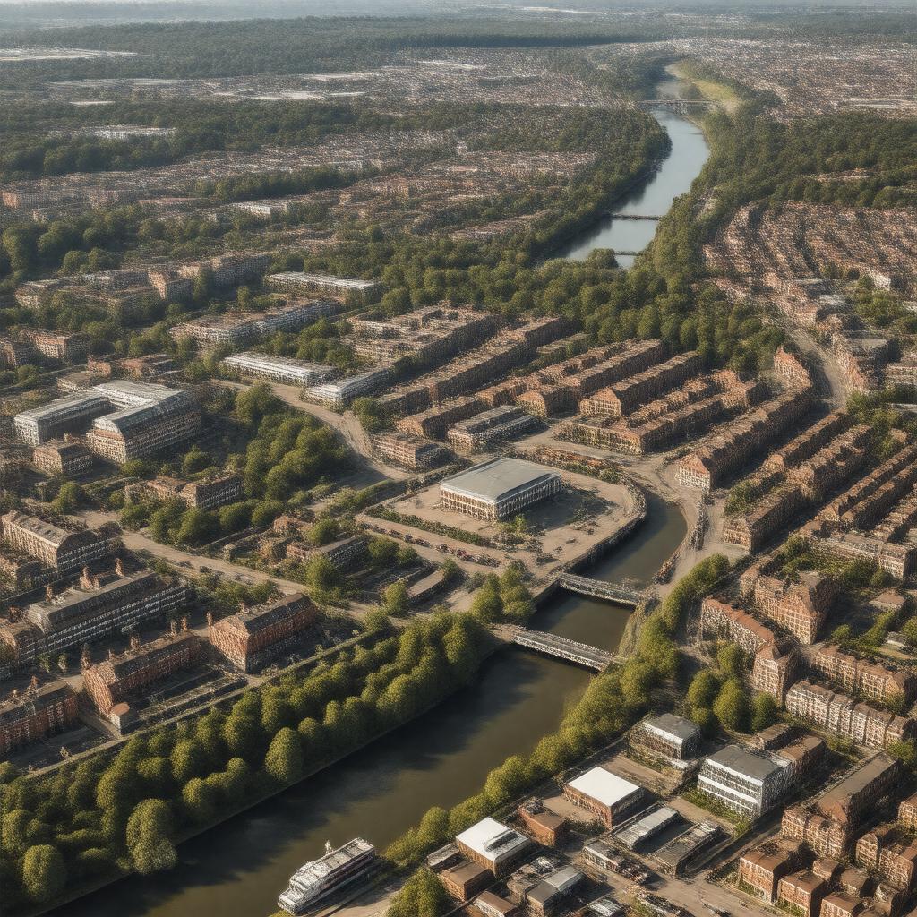
Romford, England

GPTKB entity

Statements (51)
Predicate Object
gptkbp:instanceOf gptkb:town
gptkbp:country gptkb:England
gptkb:United_Kingdom
gptkbp:dialCode 01708
gptkbp:distanceFromLondon 14.1 miles NE
gptkbp:hasFootballClub gptkb:Romford_F.C.
gptkb:AFC_Hornchurch
gptkbp:hasHistoricSite gptkb:St_Edward_the_Confessor_Church
gptkb:Romford_Garden_Suburb
gptkb:Romford_Greyhound_Stadium_(former)
gptkb:Romford_War_Memorial
gptkb:The_Golden_Lion_pub
gptkbp:hasHospital gptkb:Queen's_Hospital
gptkbp:hasIceRink gptkb:Sapphire_Ice_&_Leisure
gptkbp:hasLeisureCentre gptkb:Harrow_Lodge_Leisure_Centre
gptkbp:hasMarket Romford Market
gptkbp:hasNightclub gptkb:South_Street
gptkbp:hasRailwayStation Romford railway station
gptkbp:hasRiver gptkb:River_Rom
gptkbp:hasRoute gptkb:Romford_Bus_Station
gptkbp:hasShoppingCentre gptkb:South_Street
gptkb:High_Street
gptkb:Romford_Shopping_Hall
gptkb:The_Brewery
gptkb:The_Liberty_Shopping_Centre
gptkb:The_Mercury_Mall
gptkbp:hasTheatre gptkb:Brookside_Theatre
gptkb:Vue_Cinema_Romford
gptkbp:historicalCounty gptkb:Essex
https://www.w3.org/2000/01/rdf-schema#label Romford, England
gptkbp:latitude 51.574
gptkbp:locatedIn gptkb:London
gptkb:London_Borough_of_Havering
gptkbp:longitude 0.183
gptkbp:marketCharterGranted 1247
gptkbp:parliamentaryConstituency Romford
gptkbp:population over 77,000
gptkbp:postcodeDistrict gptkb:RM3
gptkb:RM6
RM1
RM2
RM5
RM7
gptkbp:postTown ROMFORD
gptkbp:region gptkb:Greater_London
gptkbp:twinTown gptkb:Villemomble,_France
gptkb:Altena,_Germany
gptkb:Frankfurt_(Oder),_Germany
gptkbp:bfsParent gptkb:Tony_Adams
gptkb:Suburban_Base
gptkbp:bfsLayer 5