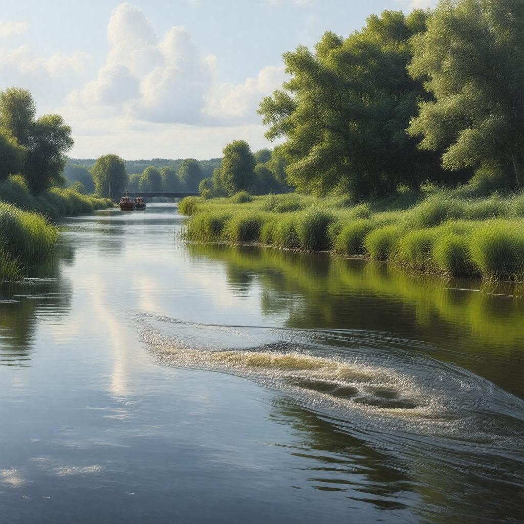
gptkbp:instanceOf
|
gptkb:river
|
gptkbp:basinSize
|
2,298 km²
|
gptkbp:catchmentArea
|
gptkb:East_Midlands
|
gptkbp:country
|
gptkb:United_Kingdom
|
gptkbp:designation
|
Site of Special Scientific Interest (SSSI)
Special Protection Area (SPA)
|
gptkbp:flowsThrough
|
gptkb:Peterborough
gptkb:Wisbech
gptkb:Wellingborough
gptkb:Northampton
|
gptkbp:hasBridge
|
gptkb:South_Bridge,_Northampton
gptkb:Town_Bridge,_Peterborough
|
gptkbp:hasConnection
|
gptkb:Grand_Union_Canal
|
gptkbp:hasConservationArea
|
gptkb:Upper_Nene_Valley_Gravel_Pits
|
gptkbp:hasFloodplain
|
gptkb:Nene_Washes
|
gptkbp:hasLock
|
gptkb:Dog-in-a-Doublet_Lock
gptkb:Northampton_Lock
gptkb:Orton_Lock
|
gptkbp:hasNatureReserve
|
gptkb:Barnwell_Country_Park
gptkb:Nene_Wetlands
gptkb:Stanwick_Lakes
|
gptkbp:hasPort
|
gptkb:Port_of_Wisbech
|
gptkbp:hasTributary
|
gptkb:Alledge_Brook
gptkb:Billing_Brook
gptkb:Harper's_Brook
gptkb:Kennet_River
gptkb:River_Ise
gptkb:River_Ouse_(Northamptonshire)
gptkb:River_Tove
gptkb:Wootton_Brook
|
gptkbp:hasWildlife
|
herons
kingfishers
otters
|
gptkbp:historicalEvent
|
Battle of Naseby (nearby)
|
https://www.w3.org/2000/01/rdf-schema#label
|
River Nene
|
gptkbp:length
|
161 km
|
gptkbp:locatedIn
|
gptkb:England
|
gptkbp:mouthElevation
|
0 m
|
gptkbp:mouthLocation
|
gptkb:The_Wash
|
gptkbp:navigable
|
yes
|
gptkbp:passesThrough
|
gptkb:Cambridgeshire
gptkb:Lincolnshire
gptkb:Northamptonshire
|
gptkbp:sourceElevation
|
179 m
|
gptkbp:sourceLocation
|
gptkb:Arbury_Hill
|
gptkbp:tributaryOf
|
gptkb:The_Wash
|
gptkbp:usedFor
|
gptkb:navigation
fishing
recreation
|
gptkbp:bfsParent
|
gptkb:The_Fens
|
gptkbp:bfsLayer
|
4
|