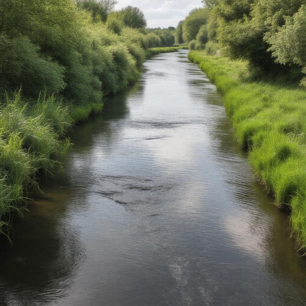
gptkbp:instance_of
|
gptkb:river
|
gptkbp:biodiversity
|
supports various fish species
supports bird species
supports plant species
|
gptkbp:conservation_status
|
monitored by local authorities
|
gptkbp:crosses
|
gptkb:Sandy
Biggleswade
Langford
Ivel Valley
|
gptkbp:environment
|
habitat for wildlife
|
gptkbp:flood_control
|
subject to flooding in heavy rains
|
gptkbp:flows_into
|
gptkb:Huntingdonshire
gptkb:Central_Bedfordshire
gptkb:North_Hertfordshire
|
gptkbp:historical_significance
|
used for navigation in the past
|
gptkbp:historical_use
|
water supply for agriculture
industrial use in the past
|
https://www.w3.org/2000/01/rdf-schema#label
|
River Ivel
|
gptkbp:landmark
|
gptkb:Sandy_Bridge
gptkb:Stotfold
gptkb:Letchworth_Garden_City
gptkb:Baldock
gptkb:Hitchin
gptkb:Berkhamsted
gptkb:St._Neots
gptkb:Bromham_Mill
Broom
Henlow
Shefford
Arlesey
Bromham
Potton
Clophill
Biggleswade Common
Ivel Springs
Ivel Valley Way
Langford Mill
|
gptkbp:length
|
approximately 40 miles
|
gptkbp:local_names
|
Ivel
|
gptkbp:location
|
gptkb:Bedfordshire
|
gptkbp:mouth
|
gptkb:River_Great_Ouse
|
gptkbp:part_of
|
Ivel catchment area
|
gptkbp:recreation
|
fishing
walking trails
cycling paths
|
gptkbp:source
|
near St. Neots
|
gptkbp:tributary_of
|
gptkb:River_Great_Ouse
|
gptkbp:water_quality
|
varies by location
|
gptkbp:bfsParent
|
gptkb:Henlow,_Bedfordshire,_England
gptkb:Stotfold,_England
gptkb:River_Great_Ouse_Navigation
|
gptkbp:bfsLayer
|
6
|