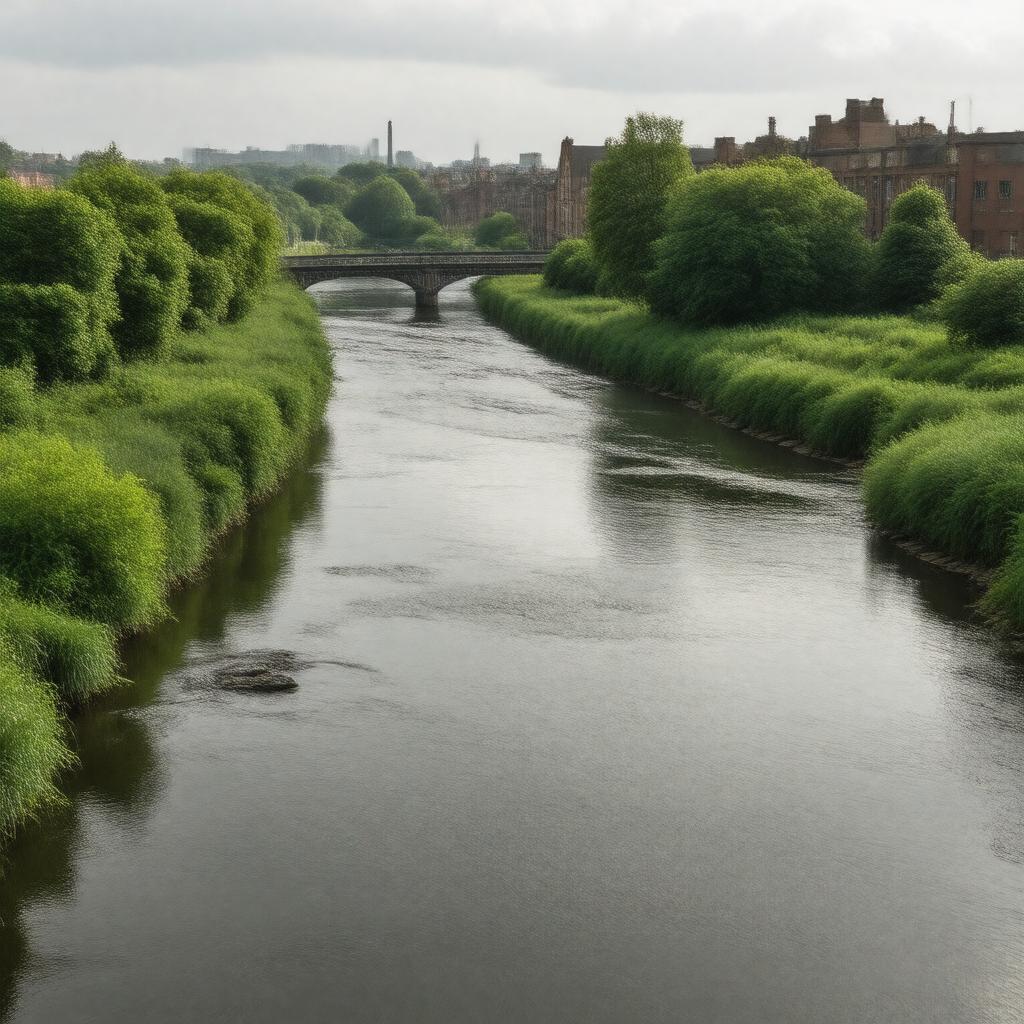
gptkbp:instance_of
|
gptkb:river
|
gptkbp:bfsLayer
|
4
|
gptkbp:bfsParent
|
gptkb:The_Salford_Quays
gptkb:Manchester,_UK
gptkb:Salford
gptkb:Bury
gptkb:Manchester
gptkb:Salford,_England
gptkb:River_Croal
gptkb:Manchester,_England
gptkb:Eccles,_Greater_Manchester
gptkb:Bury,_UK
|
gptkbp:activities
|
kayaking
birdwatching
canoeing
|
gptkbp:conservation_efforts
|
Wildlife protection initiatives
Community clean-up events
habitat restoration projects
River restoration projects
river clean-up initiatives
wildlife protection programs
|
gptkbp:crosses
|
gptkb:Greater_Manchester
gptkb:Rochdale
gptkb:Salford
gptkb:Bury
gptkb:Manchester
gptkb:Lancashire
|
gptkbp:cultural_significance
|
gptkb:literary_work
gptkb:artwork
Local folklore
local folklore
|
gptkbp:environmental_impact
|
Pollution
pollution
|
gptkbp:flows_into
|
gptkb:Rochdale
gptkb:Salford
gptkb:Bury
|
gptkbp:geographical_feature
|
gptkb:river
gptkb:valley
Floodplain
Catchment area
|
gptkbp:historical_event
|
flooding incidents
Flood of 2015
Flood of 1946
|
gptkbp:historical_significance
|
gptkb:hospital
|
gptkbp:historical_source
|
Moorland near Bacup
|
https://www.w3.org/2000/01/rdf-schema#label
|
River Irwell
|
gptkbp:infrastructure
|
gptkb:canal
gptkb:bridge
canals
|
gptkbp:landmark
|
gptkb:Salford_Quays
gptkb:Bury
gptkb:Manchester_City_Centre
Ramsbottom
Edenfield
Irwell Vale
|
gptkbp:length
|
39 miles
|
gptkbp:local_government
|
gptkb:Manchester_City_Council
gptkb:Bury_Council
gptkb:Salford_City_Council
gptkb:Rochdale_Borough_Council
|
gptkbp:location
|
gptkb:England
gptkb:North_West_England
|
gptkbp:mouth
|
gptkb:Mersey_River
|
gptkbp:notable_feature
|
gptkb:Irwell_Sculpture_Trail
|
gptkbp:recreation
|
Fishing
Walking trails
fishing
Cycling paths
cycling
walking
|
gptkbp:species
|
gptkb:bird
Invertebrates
various fish species
Various fish species
Bird species
invertebrates
|
gptkbp:strategic_importance
|
gptkb:Company
gptkb:tourist_attraction
Recreation industry
|
gptkbp:tourist_attraction
|
gptkb:Salford_Quays
gptkb:Manchester_Ship_Canal
Irwell Valley
Riverside parks
Historical sites along the river
|
gptkbp:transportation
|
River transport
Railway crossings
Roads along the river
|
gptkbp:tributary_of
|
gptkb:Mersey_River
|
gptkbp:water_management
|
gptkb:High
high
|
gptkbp:water_quality
|
varies
monitored
affected by urban runoff
affected by industrial waste
improving
affected by sewage discharge
|