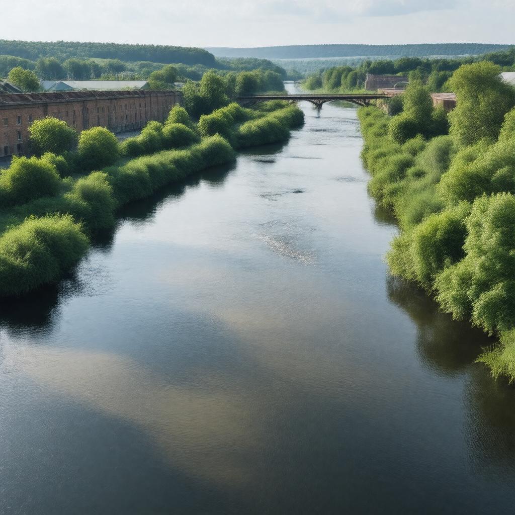
gptkbp:instance_of
|
gptkb:river
|
gptkbp:biodiversity
|
habitats
|
gptkbp:conservation_efforts
|
ongoing
|
gptkbp:contributes_to
|
gptkb:local_economy
|
gptkbp:crosses
|
gptkb:West_Yorkshire
gptkb:Leeds
gptkb:North_Yorkshire
gptkb:South_Yorkshire
Bradford
Skipton
Keighley
|
gptkbp:cultural_significance
|
gptkb:literature
gptkb:artworks
gptkb:music
local folklore
|
gptkbp:environmental_concerns
|
pollution
|
gptkbp:flood_control
|
gptkb:2000
gptkb:2015
|
gptkbp:flows_into
|
gptkb:River_Ouse
gptkb:Yorkshire
gptkb:Leeds
gptkb:Castleford
gptkb:Bingley
Bradford
Skipton
Wakefield
Keighley
|
gptkbp:has_historical_significance
|
gptkb:industrial_revolution
|
gptkbp:has_park
|
Rodley Nature Reserve
Aire Valley Park
|
gptkbp:historical_event
|
industrial development
flooding events
|
gptkbp:historical_significance
|
gptkb:trade_route
transport route
|
gptkbp:historical_site
|
gptkb:Kirkstall_Abbey
gptkb:Saltaire_Village
gptkb:Leeds-Liverpool_Canal
|
https://www.w3.org/2000/01/rdf-schema#label
|
River Aire
|
gptkbp:infrastructure
|
gptkb:bridge
locks
weirs
|
gptkbp:is_affected_by
|
gptkb:flooding
climate change
pollution
|
gptkbp:is_connected_to
|
gptkb:River_Ouse
gptkb:River_Calder
gptkb:Leeds-Liverpool_Canal
gptkb:River_Wharfe
|
gptkbp:is_home_to
|
gptkb:amphibians
gptkb:birds
gptkb:mammals
insects
various fish species
otters
kingfishers
|
gptkbp:is_known_for
|
gptkb:wildlife
gptkb:historical_significance
scenic views
|
gptkbp:is_monitored_by
|
gptkb:Environment_Agency
|
gptkbp:is_part_of
|
gptkb:Kirklees_District
gptkb:Leeds_City_Region
gptkb:West_Yorkshire
gptkb:Bradford_District
gptkb:Yorkshire_Dales_National_Park
gptkb:Wakefield_District
gptkb:Selby_District
gptkb:Calderdale_District
Airedale
Aire Valley
Aire and Wharfe catchment area
|
gptkbp:is_popular_for
|
gptkb:Cycling
picnicking
walking trails
|
gptkbp:is_subject_to
|
pollution
conservation efforts
|
gptkbp:is_used_for
|
fishing
boating
kayaking
|
gptkbp:known_for
|
industrial heritage
|
gptkbp:length
|
112 kilometers
|
gptkbp:located_in
|
gptkb:England
|
gptkbp:location
|
gptkb:England
|
gptkbp:major_city
|
gptkb:Leeds
Bradford
Skipton
Keighley
|
gptkbp:mouth
|
gptkb:River_Ouse
|
gptkbp:named_after
|
Aire valley
|
gptkbp:navigable
|
gptkb:true
|
gptkbp:part_of
|
Aire and Wharfe catchment
|
gptkbp:recreation
|
fishing
boating
walking paths
|
gptkbp:source
|
Malham Tarn
|
gptkbp:supports
|
gptkb:wildlife
|
gptkbp:surrounding_area
|
gptkb:Leeds_City_Region
gptkb:Bradford_District
gptkb:Yorkshire_Dales
Calderdale
Aire Valley
|
gptkbp:tributary_of
|
gptkb:River_Ouse
gptkb:River_Ribble
gptkb:River_Calder
gptkb:River_Swale
gptkb:River_Wharfe
gptkb:River_Nidd
gptkb:River_Derwent
|
gptkbp:water_quality
|
varies
good
moderate
monitored
poor
|
gptkbp:wildlife
|
gptkb:fish_species
gptkb:birds
|
gptkbp:wing_configuration
|
gptkb:Bingley_Five_Rise_Locks
gptkb:Kirkstall_Bridge
gptkb:Castleford_Bridge
gptkb:Leeds_Bridge
gptkb:Saltaire_Bridge
|
gptkbp:bfsParent
|
gptkb:Bradford,_England
gptkb:Leeds
|
gptkbp:bfsLayer
|
4
|