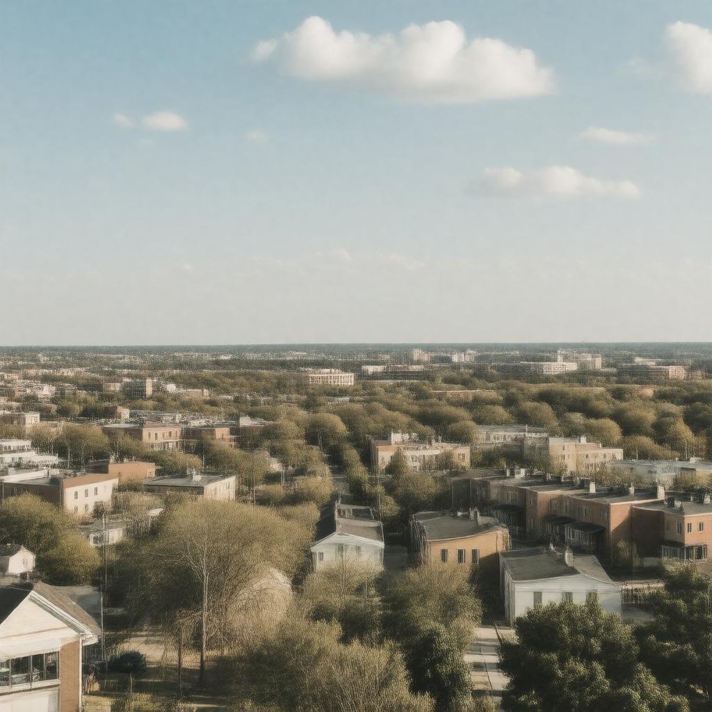
gptkbp:instanceOf
|
City
|
gptkbp:area
|
2.5 square miles
|
gptkbp:coordinates
|
38.6053° N, 90.3192° W
|
gptkbp:culturalEvents
|
Annual Richmond Heights Days
|
gptkbp:demographics
|
Diverse community
|
gptkbp:elevation
|
500 feet
|
gptkbp:established
|
1910
|
gptkbp:fireDepartment
|
gptkb:Richmond_Heights_Fire_Department
|
gptkbp:governmentType
|
Council-Manager
|
gptkbp:historicalSignificance
|
Suburban_development_post-World_War_II
|
https://www.w3.org/2000/01/rdf-schema#label
|
Richmond Heights, Missouri
|
gptkbp:library
|
gptkb:Richmond_Heights_Memorial_Library
|
gptkbp:localAttraction
|
The_Heights_Community_Center
|
gptkbp:locatedIn
|
gptkb:St._Louis_County
|
gptkbp:majorHighway
|
gptkb:Interstate_64
|
gptkbp:mayor
|
gptkb:Jim_Thomson
|
gptkbp:medianHouseholdIncome
|
$60,000
38 years
|
gptkbp:partOf
|
Greater St. Louis
|
gptkbp:percentageOfFamiliesBelowPovertyLine
|
60%
|
gptkbp:policeDepartment
|
gptkb:Richmond_Heights_Police_Department
|
gptkbp:population
|
8,000
|
gptkbp:publicTransport
|
gptkb:MetroLink
|
gptkbp:schoolDistrict
|
gptkb:Richmond_Heights_School_District
|
gptkbp:surroundingArea
|
gptkb:Richmond_Heights_Park
|
gptkbp:timeZone
|
gptkb:Central_Standard_Time
|
gptkbp:website
|
www.richmondheights.org
|
gptkbp:zipCode
|
63117
|