gptkbp:instanceOf
|
County
|
gptkbp:adjacentTo
|
gptkb:Essex_County
gptkb:Westmoreland_County
gptkb:King_and_Queen_County
gptkb:Northumberland_County
|
gptkbp:area
|
229 square miles
|
gptkbp:climate
|
Humid_subtropical_climate
|
gptkbp:demographics
|
gptkb:Hague
gptkb:Warsaw
Farnham
Tappahannock
Caucasian,_African_American,_Hispanic,_Asian
|
gptkbp:economy
|
Agriculture
Fishing
Forestry
Retail
Tourism
|
gptkbp:elevation
|
50 feet
|
gptkbp:established
|
1692
|
gptkbp:geographicalFeature
|
37.8° N, 76.7° W
|
gptkbp:governmentType
|
Board_of_Supervisors
|
gptkbp:hasCountry
|
gptkb:Warsaw
|
gptkbp:historicalSignificance
|
gptkb:Colonial_Virginia
|
https://www.w3.org/2000/01/rdf-schema#label
|
Richmond County, Virginia
|
gptkbp:landmark
|
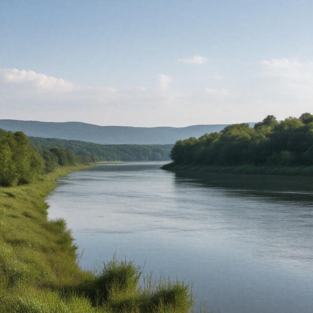
gptkb:Rappahannock_River
gptkb:Richmond_County_Courthouse
Historic Churches
Plantation Sites
Colonial_Homes
|
gptkbp:locatedIn
|
gptkb:Virginia
|
gptkbp:majorHighway
|
gptkb:U.S._Route_360
gptkb:Virginia_State_Route_3
|
gptkbp:namedAfter
|
gptkb:Richmond,_England
|
gptkbp:notableEvent
|
gptkb:American_Civil_War
gptkb:Battle_of_the_Rappahannock
War of 1812
|
gptkbp:notablePerson
|
gptkb:George_Washington
gptkb:Robert_E._Lee
gptkb:James_Monroe
gptkb:Richard_Henry_Lee
|
gptkbp:partOf
|
gptkb:United_States
|
gptkbp:population
|
9110
|
gptkbp:schoolDistrict
|
gptkb:Richmond_County_Public_Schools
|
gptkbp:timeZone
|
gptkb:Eastern_Time_Zone
|
gptkbp:website
|
www.richmondcountyva.gov
|