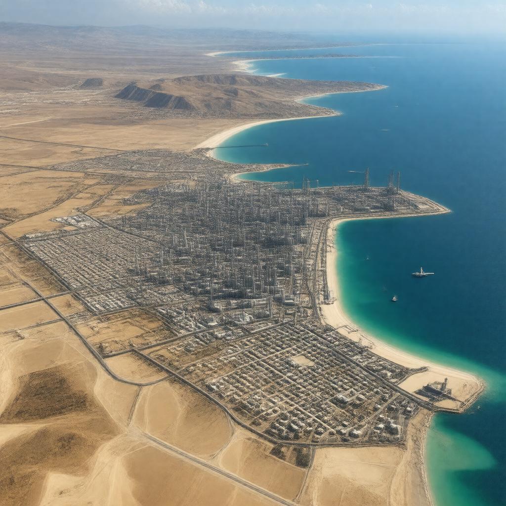
AI-created image
Statements (21)
| Predicate | Object |
|---|---|
| gptkbp:instanceOf |
gptkb:town
|
| gptkbp:arabicName |
gptkb:رأس_لانوف
|
| gptkbp:controlledBy |
Libyan National Army (as of 2023)
|
| gptkbp:country |
gptkb:Libya
|
| gptkbp:distanceFromTripoli |
about 210 km southwest
about 660 km east |
| gptkbp:hasAirport |
gptkb:Ras_Lanuf_Airport
|
| gptkbp:hasPort |
gptkb:Ras_Lanuf_Port
|
| gptkbp:historicalEvent |
Libyan Civil War battles
|
| gptkbp:knownFor |
gptkb:oil
gptkb:petrochemical_complex |
| gptkbp:locatedIn |
gptkb:Sirte_District
|
| gptkbp:locatedOn |
gptkb:Mediterranean_Sea
|
| gptkbp:oilExportTerminal |
gptkb:Ras_Lanuf_Oil_Terminal
|
| gptkbp:population |
approx. 10,000
|
| gptkbp:region |
gptkb:Tripolitania
|
| gptkbp:timezone |
gptkb:EET
|
| gptkbp:utcOffset |
+2
|
| gptkbp:bfsParent |
gptkb:Gulf_of_Sidra
|
| gptkbp:bfsLayer |
5
|
| http://www.w3.org/2000/01/rdf-schema#label |
Ras Lanuf
|