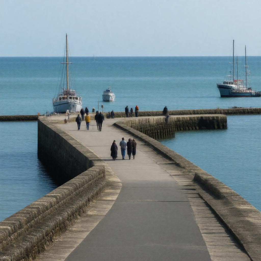
AI-created image
Statements (25)
| Predicate | Object |
|---|---|
| gptkbp:instanceOf |
gptkb:marina
|
| gptkbp:coordinates |
51.3311°N 1.4197°E
|
| gptkbp:country |
gptkb:England
gptkb:United_Kingdom |
| gptkbp:hasFerryServiceTo |
historically to Dunkirk
historically to Ostend |
| gptkbp:hasLighthouse |
gptkb:Ramsgate_Harbour_Lighthouse
|
| gptkbp:hasMarina |
gptkb:Ramsgate_Marina
|
| gptkbp:heritageStatus |
Grade II listed
|
| gptkbp:locatedIn |
gptkb:Kent
|
| gptkbp:location |
gptkb:Ramsgate
|
| gptkbp:notableEvent |
gptkb:evacuation_of_Dunkirk
|
| gptkbp:opened |
18th century
|
| gptkbp:operatedBy |
gptkb:Thanet_District_Council
|
| gptkbp:structure |
gptkb:Royal_Harbour_Arms
gptkb:East_Pier gptkb:West_Pier |
| gptkbp:usedFor |
fishing
commercial shipping leisure boating |
| gptkbp:bfsParent |
gptkb:Ramsgate,_England
gptkb:Ramsgate,_Kent,_England gptkb:John_Rennie |
| gptkbp:bfsLayer |
5
|
| http://www.w3.org/2000/01/rdf-schema#label |
Ramsgate Harbour
|