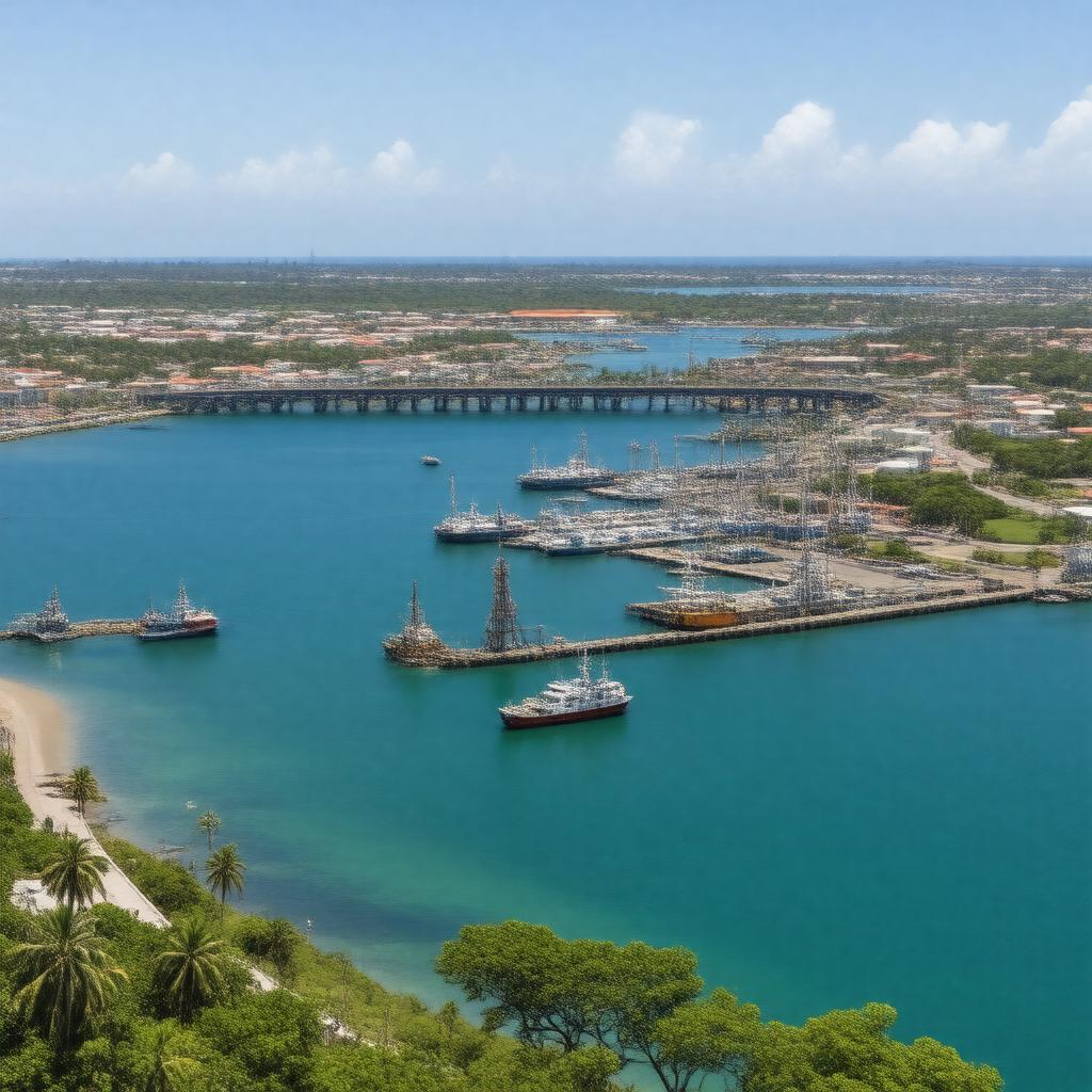
AI-created image
Statements (29)
| Predicate | Object |
|---|---|
| gptkbp:instanceOf |
gptkb:marina
|
| gptkbp:coordinates |
12.1081° N, 68.9350° W
|
| gptkbp:country |
gptkb:Curaçao
|
| gptkbp:harborName |
gptkb:Schottegat
|
| gptkbp:hasBridge |
gptkb:Queen_Emma_Bridge
gptkb:Queen_Juliana_Bridge |
| gptkbp:hasCargoTraffic |
yes
|
| gptkbp:hasCruiseTraffic |
yes
|
| gptkbp:hasFacility |
gptkb:ferry
gptkb:oil gptkb:ship gptkb:free_trade_agreement |
| gptkbp:hasHarbor |
gptkb:lake
|
| gptkbp:ISO_3166-2_code |
gptkb:ANWIL
|
| gptkbp:locatedOn |
gptkb:Caribbean_Sea
|
| gptkbp:location |
gptkb:Willemstad
|
| gptkbp:mainExports |
petroleum products
refined oil |
| gptkbp:mainImports |
consumer goods
foodstuffs |
| gptkbp:opened |
1634
|
| gptkbp:operatedBy |
gptkb:Curaçao_Ports_Authority
|
| gptkbp:servesCity |
gptkb:Willemstad
|
| gptkbp:timezone |
AST (UTC−4)
|
| gptkbp:website |
https://www.curports.com/
|
| gptkbp:bfsParent |
gptkb:Curaçao
gptkb:Curacao |
| gptkbp:bfsLayer |
5
|
| http://www.w3.org/2000/01/rdf-schema#label |
Port of Willemstad
|