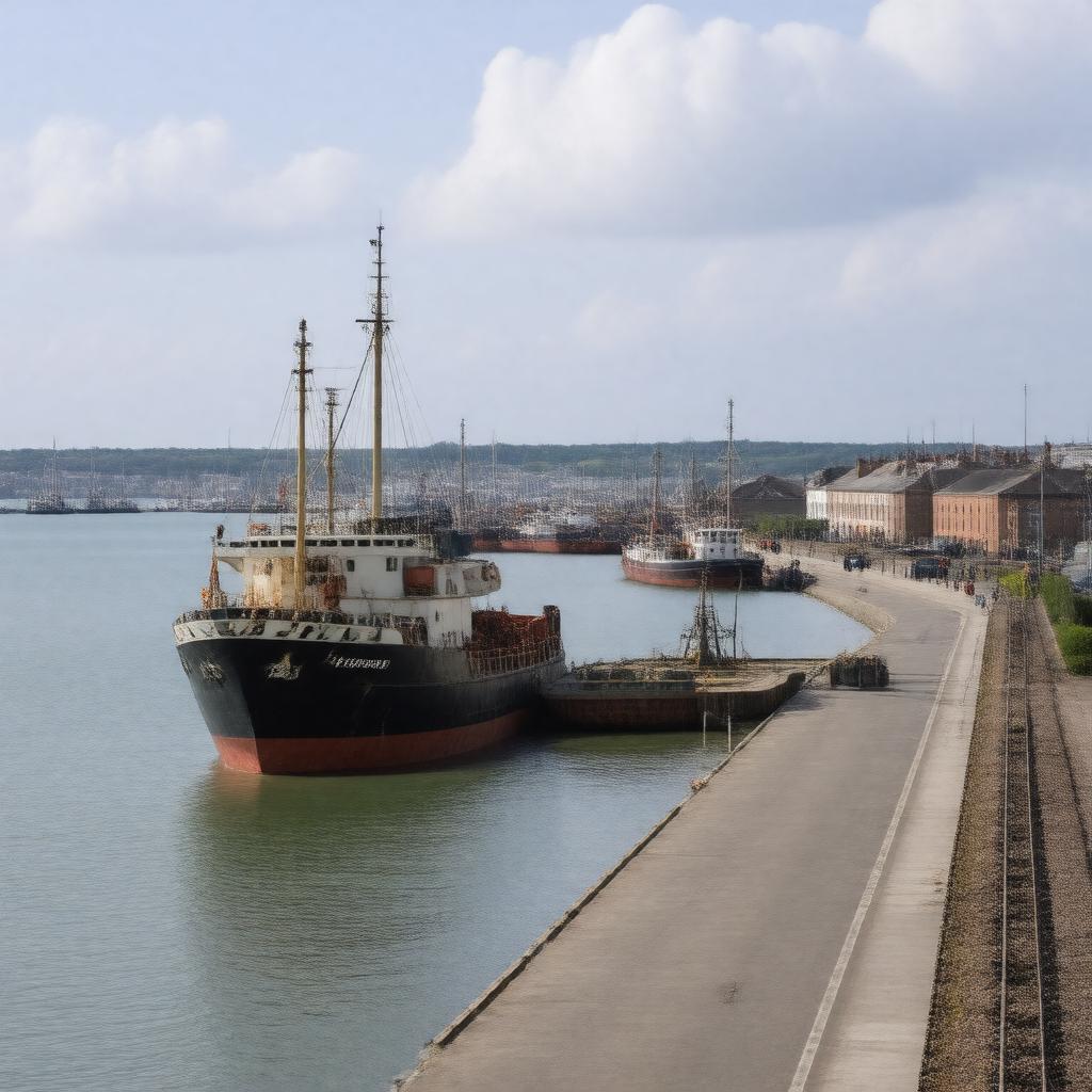
AI-created image
Statements (24)
| Predicate | Object |
|---|---|
| gptkbp:instanceOf |
gptkb:port
|
| gptkbp:country |
gptkb:United_Kingdom
|
| gptkbp:customs |
true
|
| gptkbp:hasContainerTerminal |
true
|
| gptkbp:hasFerryServiceTo |
true
|
| gptkbp:hasHarbor |
gptkb:Royal_Harbour_of_Ramsgate
|
| gptkbp:hasMarina |
gptkb:Ramsgate_Marina
|
| gptkbp:historicalEvent |
used during Dunkirk evacuation
|
| gptkbp:ISO_3166-2_code |
gptkb:GBRMS
|
| gptkbp:latitude |
51.329
|
| gptkbp:location |
gptkb:Ramsgate
|
| gptkbp:longitude |
1.425
|
| gptkbp:mainCargo |
gptkb:livestock
gptkb:aggregate freight |
| gptkbp:nearestCity |
gptkb:Ramsgate
|
| gptkbp:opened |
18th century
|
| gptkbp:operatedBy |
gptkb:Thanet_District_Council
|
| gptkbp:region |
gptkb:Kent
|
| gptkbp:website |
https://www.portoframsgate.co.uk/
|
| gptkbp:bfsParent |
gptkb:Ramsgate,_Kent,_England
gptkb:Kent |
| gptkbp:bfsLayer |
5
|
| http://www.w3.org/2000/01/rdf-schema#label |
Port of Ramsgate
|