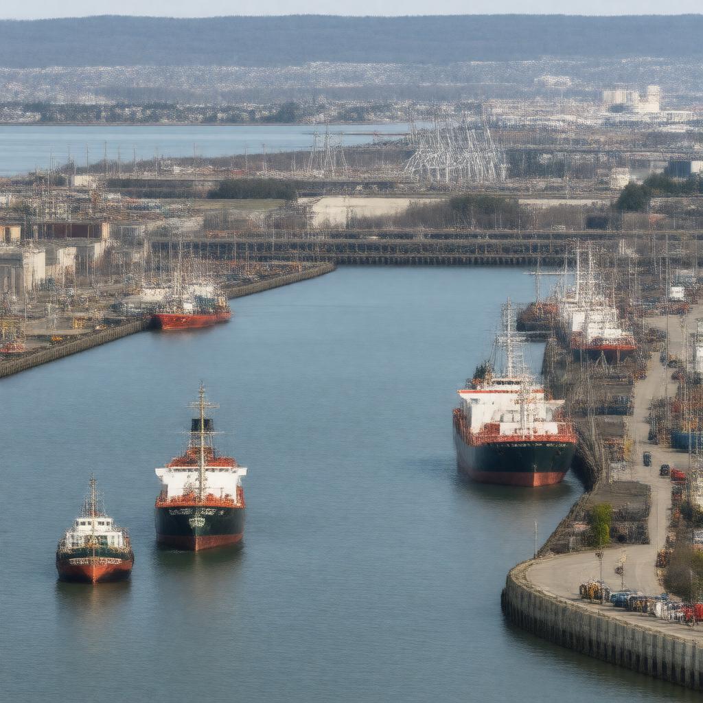
AI-created image
Statements (23)
| Predicate | Object |
|---|---|
| gptkbp:instanceOf |
gptkb:marina
|
| gptkbp:coordinates |
41.7011°N 71.1550°W
|
| gptkbp:country |
gptkb:United_States
|
| gptkbp:customsPort |
yes
|
| gptkbp:hasFacility |
gptkb:State_Pier
private terminals |
| gptkbp:hasRailwayStation |
yes
|
| gptkbp:historicalSignificance |
major textile shipping port in 19th century
|
| gptkbp:ISO_3166-2_code |
gptkb:USFRR
|
| gptkbp:locatedOn |
gptkb:Taunton_River
|
| gptkbp:location |
gptkb:Fall_River,_Massachusetts
|
| gptkbp:mainCargo |
bulk cargo
general cargo liquid bulk |
| gptkbp:maximumDepth |
up to 35 feet
|
| gptkbp:operatedBy |
gptkb:City_of_Fall_River
|
| gptkbp:roadType |
Interstate 195
|
| gptkbp:serves |
gptkb:southeastern_Massachusetts
|
| gptkbp:waterwayAccess |
gptkb:Mount_Hope_Bay
gptkb:Narragansett_Bay |
| gptkbp:bfsParent |
gptkb:Fall_River
|
| gptkbp:bfsLayer |
4
|
| http://www.w3.org/2000/01/rdf-schema#label |
Port of Fall River
|