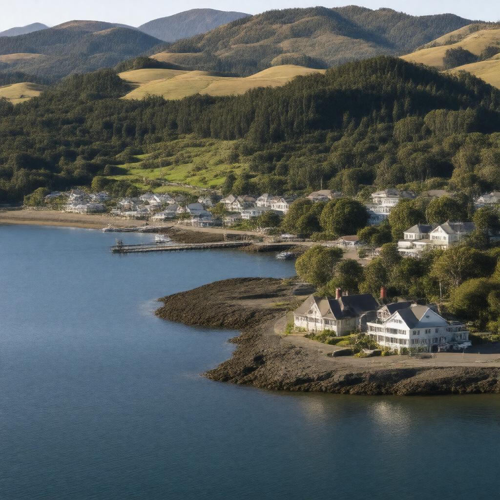
Port Chalmers

GPTKB entity

Statements (60)
Predicate Object
gptkbp:instance_of gptkb:port
gptkbp:community_events gptkb:festivals
gptkbp:cultural_significance gptkb:historical_architecture
gptkbp:economic_activity gptkb:tourism
fishing
shipping
gptkbp:education_institution gptkb:Elementary_School
gptkbp:established 1850s
gptkbp:features gptkb:Docker
fishing industry
bulk cargo facilities
gptkbp:governed_by gptkb:Dunedin_City_Council
gptkbp:has_access_to gptkb:Pacific_Ocean
gptkbp:has_events annual regattas
gptkbp:has_facilities maritime services
gptkbp:has_historical_significance gold rush era
gptkbp:has_port_type deep-water port
gptkbp:has_public_transport gptkb:bus_services
gptkbp:has_transport_link road and rail
gptkbp:historical_significance shipping hub
gptkbp:historical_site old railway station
gptkbp:hosts gptkb:cruise_ships
https://www.w3.org/2000/01/rdf-schema#label Port Chalmers
gptkbp:is_a gptkb:town
gptkbp:is_accessible_by sea routes
gptkbp:is_connected_to gptkb:Otago_Harbour
international shipping routes
regional transport networks
Dunedin via rail
Dunedin via road
gptkbp:is_home_to gptkb:art_galleries
local businesses
community organizations
historical landmarks
yacht clubs
craft shops
fishing fleets
gptkbp:is_known_for cultural diversity
local cuisine
maritime history
scenic views
sustainable practices
local festivals and events
environmental conservation efforts
shipping and logistics
gptkbp:is_located_at 170.6° E longitude
45.8° S latitude
gptkbp:is_located_near gptkb:Otago_Peninsula
gptkbp:is_part_of gptkb:Otago_Region
gptkb:New_Zealand's_South_Island
Dunedin metropolitan area
New Zealand's maritime network
gptkbp:located_in gptkb:New_Zealand
gptkbp:part_of gptkb:Dunedin_City
gptkbp:population approximately 3,000
gptkbp:recreation beaches
gptkbp:serves gptkb:Dunedin
gptkbp:tourist_attraction local museums
gptkbp:bfsParent gptkb:Dunedin_City
gptkbp:bfsLayer 6