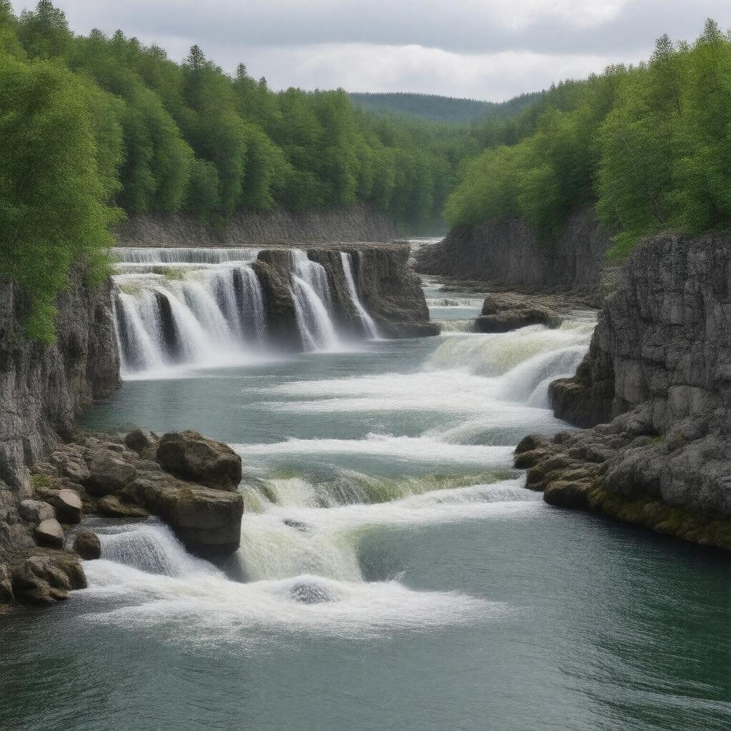
gptkbp:instanceOf
|
river
|
gptkbp:access
|
multiple public access points
|
gptkbp:climate
|
temperate climate
|
gptkbp:conservationEfforts
|
protected area
|
gptkbp:crosses
|
gptkb:Gatlinburg
gptkb:Sevierville
Pigeon Forge
|
gptkbp:culturalSignificance
|
local festivals
tourism attraction
|
gptkbp:dam
|
no major dams
|
gptkbp:environment
|
freshwater
|
gptkbp:financials
|
varies
|
gptkbp:fishSpecies
|
state regulated
|
gptkbp:flowsInto
|
gptkb:North_Carolina
gptkb:Tennessee
|
gptkbp:historicalSignificance
|
early settler routes
Cherokee_history
|
https://www.w3.org/2000/01/rdf-schema#label
|
Pigeon River
|
gptkbp:landUse
|
agricultural runoff
recreational use
urban development nearby
|
gptkbp:length
|
approximately 50 miles
|
gptkbp:lighting
|
yes
recorded floods in history
|
gptkbp:localEconomy
|
supports local businesses
tourism revenue
|
gptkbp:localSports
|
varied sediment types
|
gptkbp:location
|
gptkb:North_America
|
gptkbp:mouth
|
gptkb:French_Broad_River
|
gptkbp:notableFor
|
scenic views
whitewater rafting
|
gptkbp:partOf
|
gptkb:Great_Smoky_Mountains_National_Park
|
gptkbp:recreation
|
fishing
kayaking
tubing
hiking trails nearby
|
gptkbp:scenicViews
|
part of scenic byways
|
gptkbp:seasonalActivities
|
flooding risk
low water levels in summer
|
gptkbp:source
|
Great Smoky Mountains
|
gptkbp:surroundingArea
|
gptkb:Gatlinburg
gptkb:Sevierville
mountainous terrain
forested land
Pigeon Forge
|
gptkbp:survivability
|
navigable in certain sections
|
gptkbp:tributaryOf
|
gptkb:French_Broad_River
|
gptkbp:trimLevels
|
neutral to slightly acidic
|
gptkbp:waterManagement
|
varies seasonally
managed by local authorities
|
gptkbp:waterQuality
|
monitored
|
gptkbp:waterSource
|
snowmelt
rainfall
|
gptkbp:wildlife
|
gptkb:bald_eagles
trout
otters
|