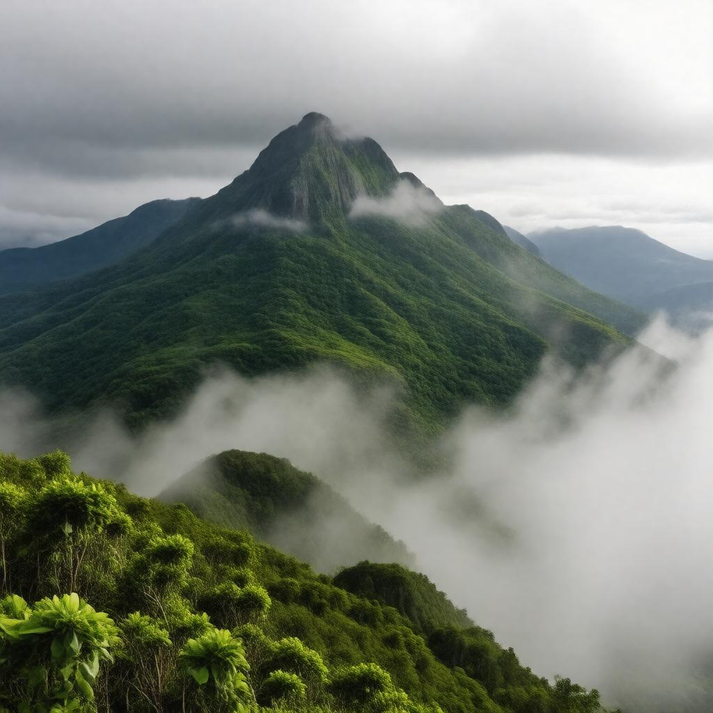
Pico da Neblina

GPTKB entity

Statements (54)
Predicate Object
gptkbp:instanceOf mountain
gptkbp:accessibility difficult
gptkbp:bestTimeToVisit May to September
gptkbp:climate tropical
tropical rainforest
humid and rainy
gptkbp:climbRate challenging
gptkbp:conservationEfforts protected
gptkbp:coordinates 0° 4′ 12″ N, 66° 5′ 48″ W
gptkbp:culturalEvents indigenous festivals
gptkbp:culturalSignificance sacred to indigenous peoples
gptkbp:elevation 2994 meters
gptkbp:environmentalConcerns climate change
deforestation
gptkbp:environmentalImpact high rainfall
high humidity
gptkbp:fauna various species of birds
gptkbp:firstAscent 1980
gptkbp:flora tropical plants
dense forests
gptkbp:geologicalFeatures igneous rock
gptkbp:historicalSignificance exploration history
https://www.w3.org/2000/01/rdf-schema#label Pico da Neblina
gptkbp:isEngagedIn 1970s
gptkbp:landforms granite peak
gptkbp:landOwnership government and indigenous groups
gptkbp:landUse conservation and tourism
gptkbp:localEconomy eco-tourism
gptkbp:localWildlife insects
monkeys
jaguars
sloths
various reptiles
gptkbp:locatedIn gptkb:Brazil
gptkbp:majorRivers gptkb:Rio_Orinoco
gptkb:Rio_Negro
gptkb:Rio_Içana
gptkbp:nearestCity gptkb:São_Gabriel_da_Cachoeira
gptkbp:notableFeature cloud forests
gptkbp:partOf gptkb:Sierra_de_Neblina
gptkbp:prominence 1554 meters
gptkbp:protectedArea gptkb:Pico_da_Neblina_National_Park
gptkbp:region gptkb:Amazon_Rainforest
gptkbp:researchInterest biodiversity studies
gptkbp:surroundingArea gptkb:Sierra_de_Imeri
indigenous territories
gptkbp:tour multiple trails
gptkbp:tourism hiking and climbing
gptkbp:touristAttraction cultural experiences
scenic views
wildlife watching
adventure sports
photography opportunities
gptkbp:visibility highly visible from surrounding areas