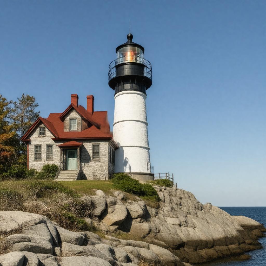
gptkbp:instance_of
|
gptkb:lighthouse
|
gptkbp:accessibility
|
public access
|
gptkbp:architectural_style
|
Federal style
|
gptkbp:artistic_vision
|
paintings and photographs
|
gptkbp:associated_with
|
gptkb:Pemaquid_Point
|
gptkbp:automated
|
1934
|
gptkbp:characteristic
|
Fl W 5s
|
gptkbp:color
|
gptkb:white
|
gptkbp:community_events
|
frequent
|
gptkbp:community_support
|
strong
|
gptkbp:constructed_in
|
1827
|
gptkbp:coordinates
|
43.9431° N, 69.5083° W
|
gptkbp:cultural_heritage
|
Maine's maritime history
|
gptkbp:cultural_impact
|
featured in media
|
gptkbp:current_status
|
active
|
gptkbp:design
|
conical
|
gptkbp:educational_programs
|
available
|
gptkbp:features
|
gptkb:museum
|
gptkbp:gift_shop
|
yes
|
gptkbp:height
|
48 feet
|
gptkbp:historical_significance
|
important maritime site
part of U. S. lighthouse history
|
gptkbp:historical_tours
|
offered
|
https://www.w3.org/2000/01/rdf-schema#label
|
Pemaquid Point Lighthouse
|
gptkbp:is_a_focal_point_for
|
79 feet
|
gptkbp:land_ownership
|
state-owned
|
gptkbp:landmark
|
yes
|
gptkbp:lens_type
|
yes
|
gptkbp:local_economy
|
supports tourism
|
gptkbp:location
|
gptkb:Bristol,_Maine
|
gptkbp:maintenance
|
ongoing
|
gptkbp:nearby_attraction
|
gptkb:Pemaquid_Beach
|
gptkbp:operated_by
|
gptkb:American_Lighthouse_Foundation
|
gptkbp:original_purpose
|
gptkb:navigation
|
gptkbp:owner
|
gptkb:U._S._Coast_Guard
|
gptkbp:photography
|
popular spot
popular subject
|
gptkbp:preservation_efforts
|
active
|
gptkbp:range
|
14 nautical miles
|
gptkbp:registration
|
gptkb:1977
|
gptkbp:renovated
|
gptkb:2000
|
gptkbp:significance
|
gptkb:historical_landmark
|
gptkbp:surrounding_area
|
gptkb:Pemaquid_Point_Historic_Site
|
gptkbp:surrounding_nature
|
coastal scenery
|
gptkbp:tourist_attraction
|
yes
|
gptkbp:type
|
active lighthouse
|
gptkbp:viewing_platform
|
available
|
gptkbp:visitors
|
open to the public
|
gptkbp:weather_conditions
|
coastal climate
|
gptkbp:wildlife
|
seabirds
|
gptkbp:bfsParent
|
gptkb:Rockport,_Maine
gptkb:Chamberlain,_Maine
|
gptkbp:bfsLayer
|
5
|