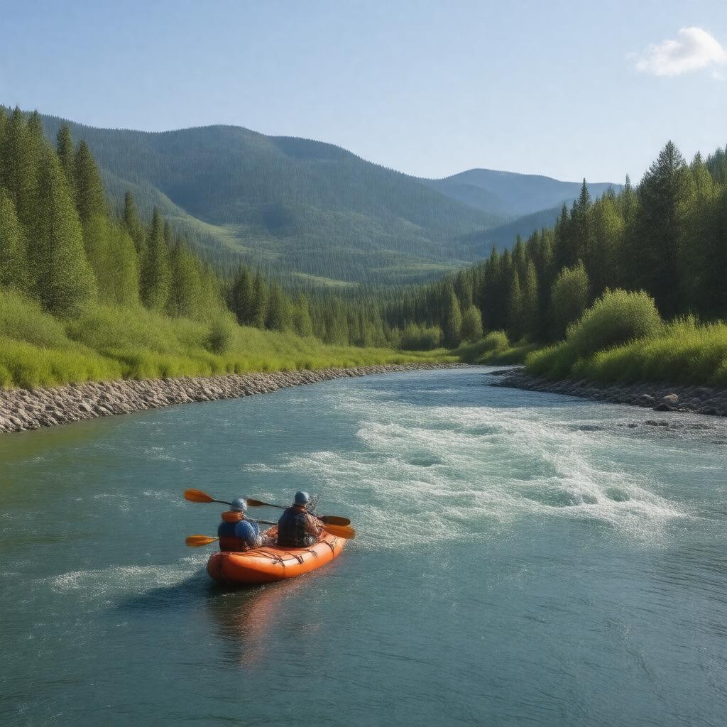
gptkbp:instance_of
|
gptkb:river
|
gptkbp:crosses
|
gptkb:Ada_County
gptkb:Canyon_County
Gem County
Valley County
|
gptkbp:cultural_significance
|
gptkb:local_economy
gptkb:tourist_attraction
recreation hub
|
gptkbp:dam
|
gptkb:Cascade_Dam
gptkb:Payette_River_Dam
gptkb:Black_Canyon_Dam
|
gptkbp:drainage_basin
|
Payette River Basin
|
gptkbp:environment
|
gptkb:wildlife
mountainous terrain
forested areas
|
gptkbp:fish_species
|
gptkb:trout
gptkb:salmon
bass
|
gptkbp:flood_control
|
spring runoff
|
gptkbp:historical_significance
|
Native American history
early settler routes
|
https://www.w3.org/2000/01/rdf-schema#label
|
Payette River
|
gptkbp:length
|
approximately 75 miles
|
gptkbp:location
|
gptkb:Idaho
|
gptkbp:merged_with
|
with the Snake River
|
gptkbp:mouth
|
gptkb:Snake_River
|
gptkbp:named_after
|
gptkb:Francois_Payette
|
gptkbp:notable_feature
|
gptkb:Cascade_Falls
gptkb:Payette_Lake
Banks-Lowman Highway
|
gptkbp:popular_activities
|
fishing
kayaking
whitewater rafting
|
gptkbp:recreation
|
gptkb:Payette_National_Forest
|
gptkbp:scenic_views
|
Ponderosa Pine Scenic Byway
|
gptkbp:seasonal_activities
|
variable
|
gptkbp:source
|
gptkb:Sawtooth_National_Forest
|
gptkbp:surrounding_cities
|
gptkb:Horseshoe_Bend
gptkb:Mc_Call
gptkb:Cascade
Emmett
|
gptkbp:tributary_of
|
gptkb:Snake_River
|
gptkbp:water_management
|
regulated by dams
|
gptkbp:water_quality
|
monitored
|
gptkbp:wild_and_scenic_designation
|
partially designated
|
gptkbp:bfsParent
|
gptkb:Idaho
|
gptkbp:bfsLayer
|
4
|