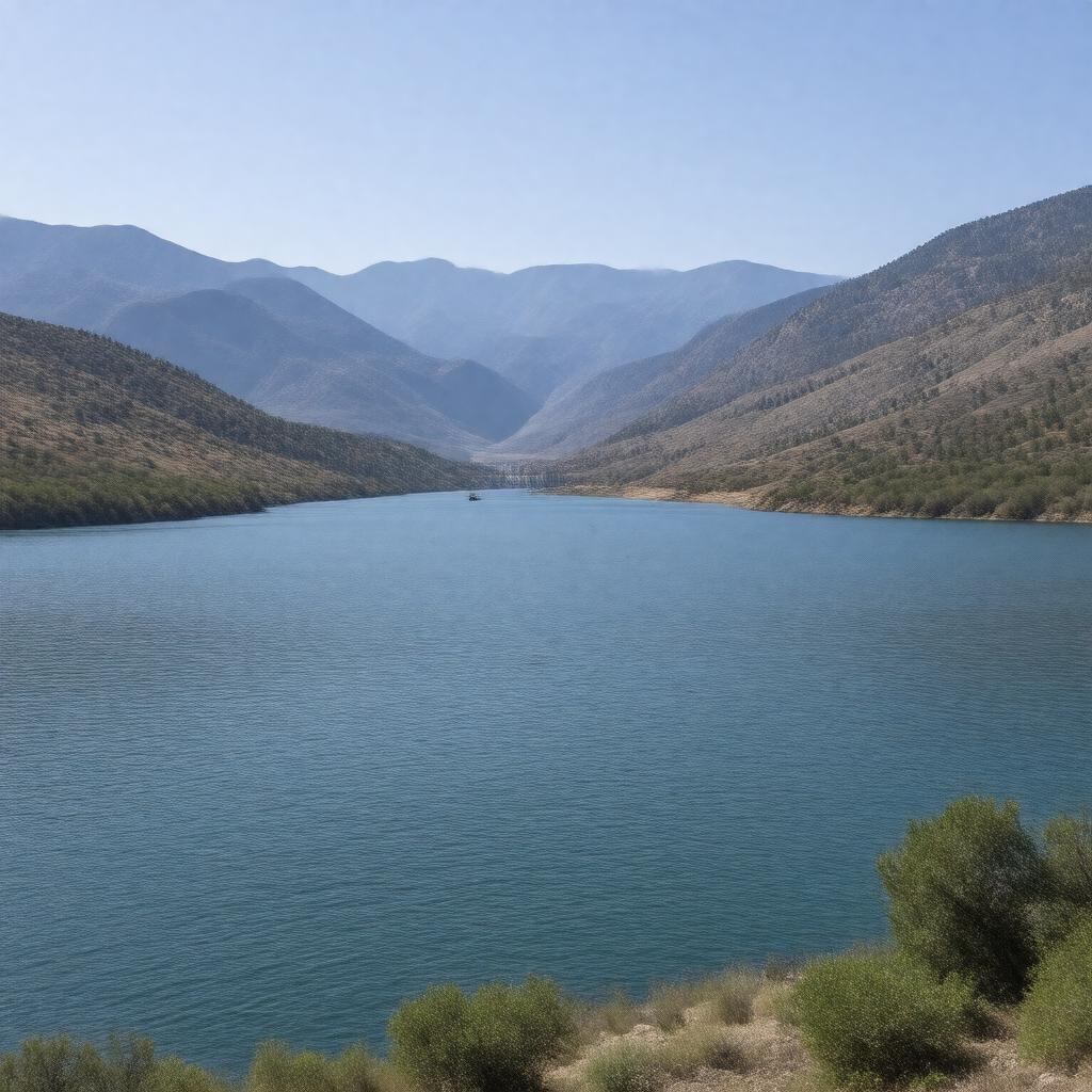
AI-created image
Statements (26)
| Predicate | Object |
|---|---|
| gptkbp:instanceOf |
gptkb:reservoir
|
| gptkbp:completedIn |
1957
|
| gptkbp:createdBy |
gptkb:Palisades_Dam
|
| gptkbp:elevation |
5,620 feet
|
| gptkbp:formedBy |
gptkb:Snake_River
|
| gptkbp:inflow |
gptkb:Snake_River
|
| gptkbp:locatedIn |
gptkb:Idaho
gptkb:Lincoln_County gptkb:United_States gptkb:Wyoming gptkb:Caribou_County gptkb:Bonneville_County |
| gptkbp:managedBy |
gptkb:U.S._Bureau_of_Reclamation
|
| gptkbp:maximumDepth |
135 feet
|
| gptkbp:nearestCity |
gptkb:Swan_Valley
Alpine |
| gptkbp:outflow |
gptkb:Snake_River
|
| gptkbp:surface |
25,560 acres
|
| gptkbp:usedFor |
flood control
hydroelectric power irrigation recreation |
| gptkbp:waterVolume |
1,200,000 acre-feet
|
| gptkbp:bfsParent |
gptkb:Snake_River
|
| gptkbp:bfsLayer |
5
|
| http://www.w3.org/2000/01/rdf-schema#label |
Palisades Reservoir
|