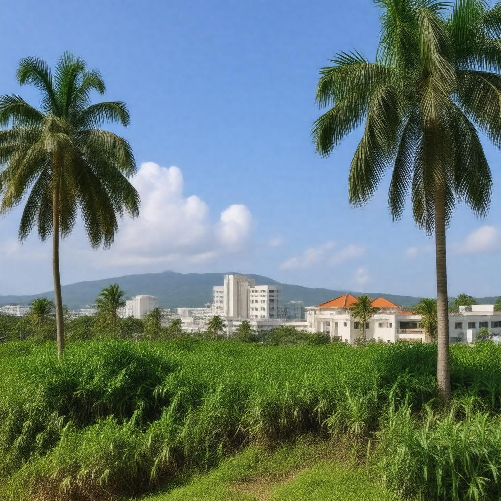
gptkbp:instance_of
|
gptkb:City
|
gptkbp:bfsLayer
|
3
|
gptkbp:bfsParent
|
gptkb:Takashi_Murakami
gptkb:Yoshitomo_Nara
|
gptkbp:administrative_division
|
gptkb:Pohnpei_State
|
gptkbp:area
|
3.5 km²
around 3.5 square miles
|
gptkbp:average_rainfall
|
3,500 mm
|
gptkbp:average_temperature
|
27° C
|
gptkbp:capital
|
gptkb:Federated_States_of_Micronesia
|
gptkbp:climate
|
gptkb:tree
Tropical rainforest climate
tropical
|
gptkbp:coordinates
|
6.93° N, 158.25° E
|
gptkbp:cultural_events
|
gptkb:Pohnpei_Cultural_Festival
Independence Day Celebrations
Christmas Celebrations
|
gptkbp:cultural_heritage
|
gptkb:Pohnpei_State
|
gptkbp:cultural_impact
|
Micronesian culture
|
gptkbp:demographics
|
Asian
predominantly Micronesian
Pacific Islander
Micronesian
|
gptkbp:developer
|
gptkb:project
|
gptkbp:economy
|
gptkb:tourist_attraction
agriculture
government services
|
gptkbp:education
|
gptkb:Pohnpei_Island_Central_School
gptkb:Pohnpei_State_Community_School
|
gptkbp:education_institution
|
College of Micronesia
Pohnpei State Campus of the College of Micronesia
|
gptkbp:elevation
|
100 m
approximately 1 meter
|
gptkbp:established
|
gptkb:1979
|
gptkbp:events
|
Pohnpei Cultural Day
|
gptkbp:facilities
|
gptkb:Pohnpei_State_Hospital
|
gptkbp:founded
|
gptkb:1979
|
gptkbp:geographical_feature
|
gptkb:Pohnpei_Island
|
gptkbp:governed_by
|
gptkb:municipality
|
gptkbp:government_type
|
gptkb:municipality
|
gptkbp:has_economy_based_on
|
Public administration
|
gptkbp:has_public_transport
|
gptkb:public_transportation_system
|
gptkbp:healthcare
|
gptkb:Pohnpei_State_Hospital
community clinics
|
gptkbp:historical_significance
|
gptkb:archaeological_site
seat of government
capital since 1979
site of government offices
|
gptkbp:historical_site
|
Spanish Wall
|
gptkbp:hosts
|
Annual Pohnpei Cultural Festival
|
https://www.w3.org/2000/01/rdf-schema#label
|
Palikir
|
gptkbp:in-game_currency
|
gptkb:United_States_dollar
|
gptkbp:is_a
|
gptkb:School_District
gptkb:public_transportation_system
gptkb:Community_Center
gptkb:National_Park
gptkb:tourist_attraction
gptkb:archaeological_site
gptkb:metropolitan_area
gptkb:municipality
Administrative center
Cultural hub
Diverse community
Economic center
Natural resource area
Cultural exchange center
Political hub
Sustainable development area
|
gptkbp:is_connected_to
|
gptkb:Cultural_exchanges
Local traditions
Local markets
International shipping routes
Telecommunication networks
Pohnpei's road network
Roads to other towns
|
gptkbp:is_home_to
|
Pohnpei State Legislature
National Government of the Federated States of Micronesia
Pohnpei's art galleries
Pohnpei's cultural heritage
Pohnpei's cultural institutions
Pohnpei's educational institutions
Pohnpei's government offices
Pohnpei's historical landmarks
Pohnpei's local government
Pohnpei's museums
|
gptkbp:is_influenced_by
|
Micronesian traditions
|
gptkbp:is_known_for
|
gptkb:Community_events
gptkb:Magic:_The_Gathering_set
Scenic views
Government buildings
Natural beauty
Ecotourism opportunities
Local cuisine
Friendly locals
|
gptkbp:is_located_near
|
Pohnpei's waterfalls
|
gptkbp:is_near
|
gptkb:Pohnpei_Island
|
gptkbp:is_often_served_with
|
gptkb:Pohnpei_International_Airport
|
gptkbp:is_part_of
|
gptkb:Micronesia
gptkb:Pacific_Islands
Micronesian culture
Micronesian biodiversity
|
gptkbp:is_surrounded_by
|
Mountains
Lush vegetation
Coastal waters
|
gptkbp:landmark
|
gptkb:Pohnpei_Museum
gptkb:Pohnpei_State_Capitol
Nahlap Island
|
gptkbp:language
|
English
Pohnpeian
|
gptkbp:located_in
|
gptkb:Pohnpei_State
gptkb:Micronesia
6.96° N, 158.25° E
|
gptkbp:nearest_city
|
Kolonia
|
gptkbp:population
|
around 6,000
6,000
|
gptkbp:sport
|
gptkb:sports_team
gptkb:Basketball_Player
gptkb:sports_event
|
gptkbp:time_zone
|
UTC+11:00
|
gptkbp:transportation
|
gptkb:Pohnpei_International_Airport
road access
ferry services
public buses
road and air
|