Prompt
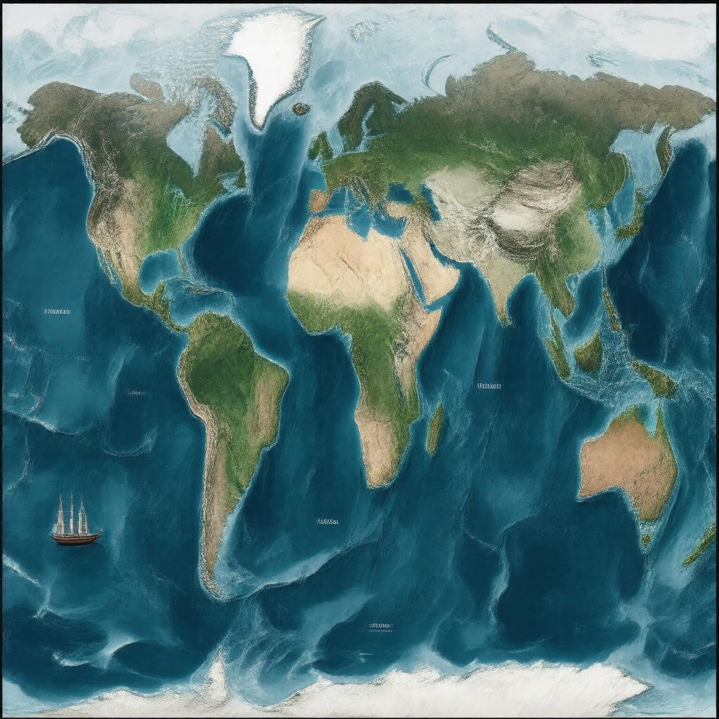
"Generate an image of a map of the Pacific Region, showcasing its vast geographical area, including Oceania, East Asia, Southeast Asia, Western Americas, Australia, New Zealand, and Pacific Islands. The map should highlight major cities such as Sydney, Auckland, Honolulu, Vancouver, San Francisco, Tokyo, Manila, Jakarta, Lima, and Santiago. Depict the region's diverse climate zones, including tropical, subtropical, temperate, arid, and polar areas. Include notable islands and seas like the Coral Sea, Tasman Sea, Philippine Sea, and South China Sea. Illustrate the region's main economic activities, such as fishing boats, tourists, ships, and agricultural fields. Incorporate iconic landmarks and features that represent the region's cultural and natural diversity. Style: A visually stunning, high-resolution, and detailed geographical map illustration."

